
What is recorded here
In pasture, on N-facing slope. Roughly-rectangular shallow depression (D c. 0.3m; 18m N-S; 24m E-W) only visible surface trace of site depicted as square (L c. 20m) platform on 1923 OS 6-inch map; exact nature of site uncertain.
Compiled by: Denis Power
Date of upload: 26 August 2011
A local ancient tomb; wider significance not recorded.
The monument record does not grant public access. Check the route and ask the landowner before entering private land.
- What survives
- Recorded monument
Places near here
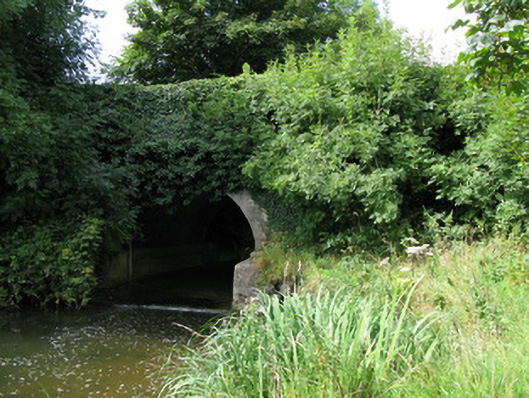 bridgebridge · 164 yd
 Kilmore Housecountry house · 448 yd
 Enclosure in Kilmore DemesneEnclosure · 754 yd
 Enclosure in KilmoreEnclosure · 1294 yd
 Castle (in ruins)Castle, unclassified · 1.3 mi
 Kilmacow Ho.Bawn · 2.9 mi
 KnockfeerinaMountain / peak · 3.0 mi
 European ashEuropean ash · 3.5 mi
 Kinnoor WellSpring · 3.5 mi
 Famine stoneMemorial · 3.6 mi
 Dysert AenghusaHeritage attraction · 3.9 mi
 Biodiversity in the Maigue CatchmentVisitor information · 3.9 mi
Other information
Photo: Credit not shown in the picture search · Rights wording not checked; contact us if this picture should be removed