What is recorded here
In pasture, on N-facing slope. Only ivy-clad SW corner of church survives; according to Molony (1905, 261) the rest fell in 1839 and 'most of the fallen portions were removed for building'. Molony (ibid.) observed 'foundations that appear to indicate that the church was 67 feet in external length, and that it was contained in an enclosure of 115 feet by 60 feet'; these features are no longer evident. The surviving S wall (int. L 6.2m) has a rough opening near the SW corner which was a doorway judging by draw-bar socket on E side; just E of this is small wall press which Molony (ibid.) thought was 'for a stoup'. That part of W gable (int. L 2.7m) which survives stands to full height; it now breaks off where part of window ingoing survives. According to Ordnance Survey Name Books associated with St Patrick. No evident trace of burials in vicinity of ruin.
Compiled by: Denis Power
Date of upload: 26 August 2011
The monument record does not grant public access. Check the route and ask the landowner before entering private land.
- What survives
- Recorded monument
Places near here
 Burial Gd. for ChildrenChildren's burial ground · 943 yd
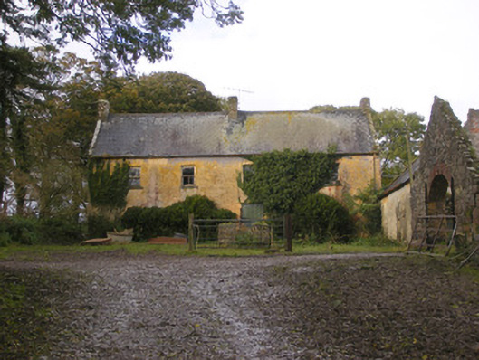 Dollas Housefarm house · 1057 yd
 IndicatedCountry house · 1067 yd
 Castle (in ruins)Castle, unclassified · 1494 yd
 Toberanearla (1924).Holy well · 1665 yd
 CastleCastle, unclassified · 1.5 mi
 Kinnoor WellSpring · 2.2 mi
 KnockfeerinaMountain / peak · 2.3 mi
 Dysert AenghusaHeritage attraction · 2.7 mi
 European ashEuropean ash · 2.8 mi
 Famine stoneMemorial · 2.9 mi
 Biodiversity in the Maigue CatchmentVisitor information · 3.0 mi