What is recorded here
The third pit [see LI048-111001-,LI048-111002-] is visible in both faces of the drain, but the base of the feature was not exposed. The pit lies 0.32m below present ground and measures 2.4m in diameter and 0.18m deep. It has a charcoal-rich fill with frequent inclusions of burnt stone (sandstone and conglomerate pieces noticeably smaller than the stones within the fill of the irregular-shaped pit located to the west [LI048-111001-]).
Compiled by: Melanie McQuade, Archaeologist, Forestry Service
Date of upload: 1 May 2015
The monument record does not grant public access. Check the route and ask the landowner before entering private land.
- What survives
- Recorded monument
Places near here
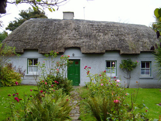 Martin's Cottagehouse · 565 yd
 Rathaboira, hachuredMound · 794 yd
 Quarry in KilfinnaneQuarry · 812 yd
 Earthwork in Ballinanima (darcy)Earthwork · 864 yd
 Ballyhoura tourist informationVisitor information · 1138 yd
 Castle (in ruins)Castle, tower house · 1149 yd
 Treada Na Ríogh (The Moat), hachuredCastle, motte · 1401 yd
 Palatine's RockNamed rock · 1.7 mi
 Ballyhoura WayWalking route · 2.0 mi
 Ballinvreena LoopVisitor information · 2.5 mi
 Gooseberry HillMountain / peak · 2.6 mi
 Keale MountainMountain / peak · 2.7 mi