What is recorded here
Set into concrete base,in pasture. This stone was moved a short distance from its original location by Limerick Council when laying a water pipe in this field (pers. comm. James O'Brien) Standing stone rectangular in plan with tapering top which was identified by Billy O'Brien of Kilfinnane.
Compiled by: Caimin O'Brien based on details provided by James and Billy O'Brien
Date of upload: 13 August 2020
Likely dating to the Bronze Age, this standing stone may have originally marked a burial, territorial boundary, or ceremonial site. Its relocation suggests local awareness of its historical significance, though specific folklore or use remains unrecorded.
The monument record does not grant public access. Check the route and ask the landowner before entering private land.
- What survives
- Recorded monument
Places near here
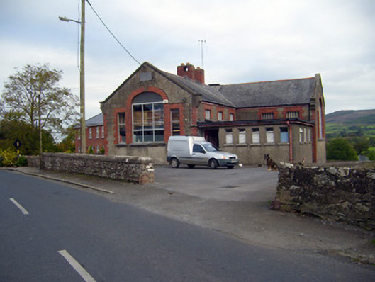 Kilfinnane Boys National Schoolschool · 51 yd
 Grave Yd.Graveyard · 244 yd
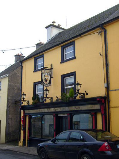 John McCarthy and Sonhouse · 259 yd
 Castle (in ruins)Castle, tower house · 286 yd
 Ballyhoura tourist informationVisitor information · 459 yd
 Treada Na Ríogh (The Moat), hachuredCastle, motte · 492 yd
 Furnace in KilfinnaneFurnace · 565 yd
 Palatine's RockNamed rock · 1722 yd
 Ballyhoura WayWalking route · 1.3 mi
 Keale MountainMountain / peak · 2.2 mi
 Gooseberry HillMountain / peak · 2.3 mi
 Ballinvreena LoopVisitor information · 2.3 mi