What is recorded here
Situated on reclaimed grassland. Outline of large oval-shaped earthwork (diam. c. 73m) intersected at SW by a post-1700 field boundary visible on Digital Globe aerial imagery taken 2011-13. Cultivation-ridges running N-S clearly visible running across monument on Google Earth orthoimages.
See attached Google Earth orthoimages
Compiled by: Caimin O'Brien based on details provided by Jean-Charles Caillère
Date of upload: 10 April 2021
The monument record does not grant public access. Check the route and ask the landowner before entering private land.
- What survives
- Recorded monument
Places near here
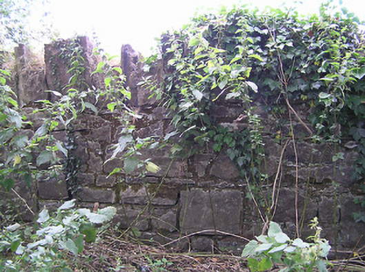 demesne walls/gates/railingsdemesne walls/gates/railings · 1150 yd
 IndicatedFairy fort / earthen ringfort · 1375 yd
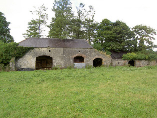 Mossvaleoutbuilding · 1647 yd
 CastleCastle, unclassified · 1692 yd
 Enclosure in DrummanEnclosure · 1731 yd
 Site of Castle NugentCastle, unclassified · 1.4 mi
 Clonfin Ambush MemorialMemorial · 2.2 mi
 Granard MotteMotte-and-bailey castle remains · 2.5 mi
 1798 Monumentmonument · 2.6 mi
 Cloonfin WoodForest · 3.2 mi
 Edgeworthstown BypassMemorial · 4.7 mi
 Ballinalee Forest WalkForest · 5.0 mi