What is recorded here
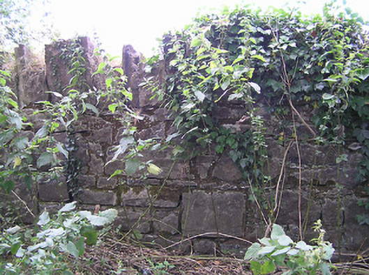
Sections of roughly dressed stone boundary walls, built c. 1800, having crenellated coping over. Formerly associated with house/farmyard at Tully. Aligning road to the southwest of Granard and to the northeast of Edgeworthstown.
This simple but well-built boundary wall acts as an historical reminder of the former Tully estate. The crenellated coping provide a sense of strength and add interest along the roadscape. This unassuming boundary wall is an interesting feature in the rural landscape to the southwest of Granard, adding visual appeal and historic incident to the local area. It forms an interesting pair of related structures with the group of outbuildings (not visited) to the west. The lands of Tully have historical associations with the Newcomen family of Carrigglas Manor (13401414) and/or Mosstown House, Keenagh (now demolished). Thomas Newcomen was granted the lands of Tully in 1732 and it was the residence of a Stewart Bart (Baronet?), c. 1780 (Taylor and Skinner map 1777 – 1783), a relative of the Newcomen family of (probably of Mosstown, near Keenagh). It also appears to have historical associations with the Wilson (a Francis Wilson is mentioned as owning this land in 1737) and Bond families (it was inherited by James Wensley Bond, of Cartroncar House during the early-nineteenth century). The house/castle (LF015-016---- ) itself was demolished by 1838 (Ordnance Survey first edition six-inch map), and ‘only some old walls remained’ in 1836 – 7 (Ordnance Survey letters). The castle itself was in existence in1621 Fergus Farrall [Farrell] was granted ‘the castle and lands of Tully’.
This does not grant access. Most recorded buildings are privately owned; view them only from public ground unless the owner allows entry.
Places near here
 IndicatedFairy fort / earthen ringfort · 521 yd
 CastleCastle, unclassified · 575 yd
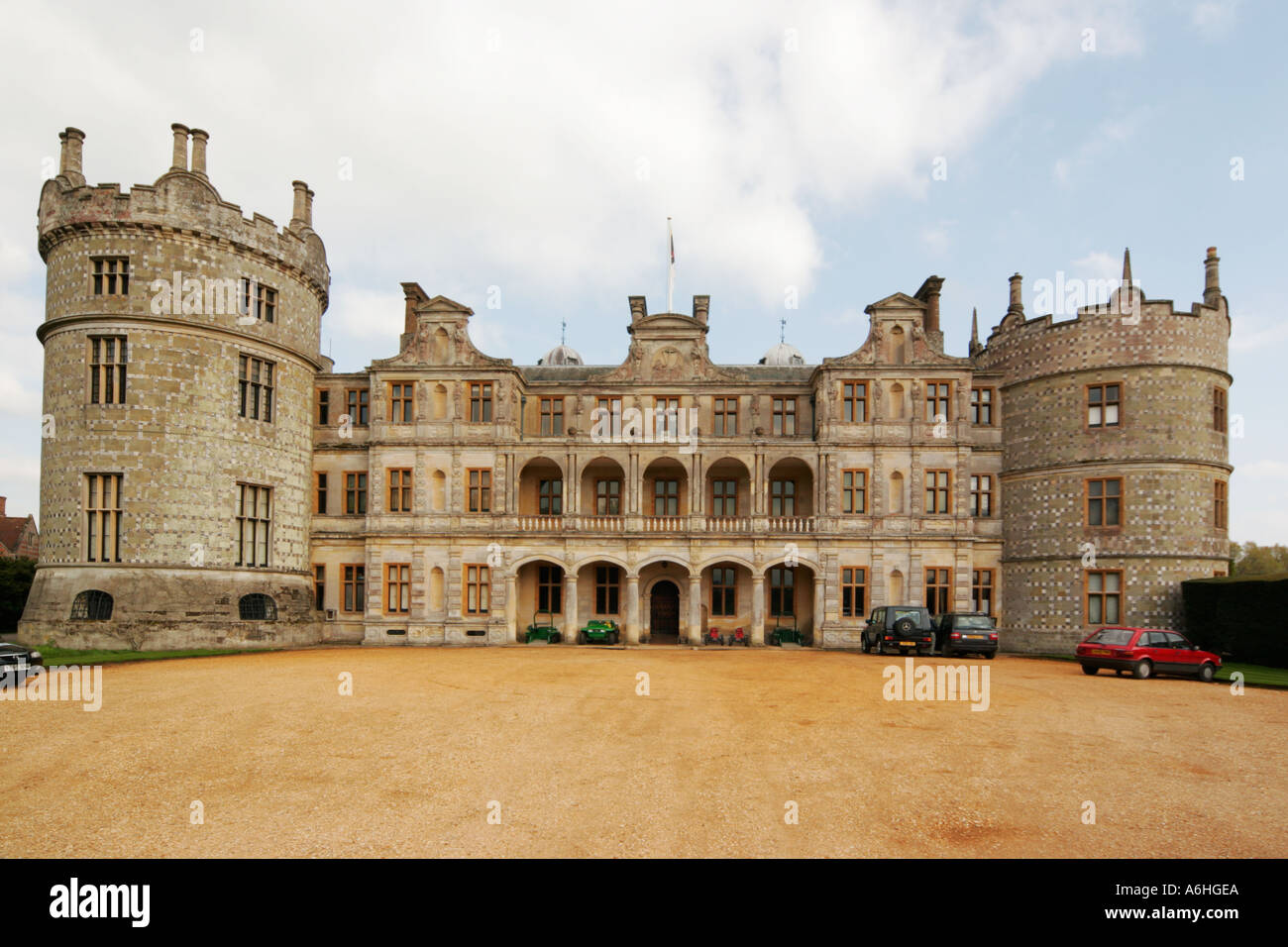 Walshs FortFairy fort / earthen ringfort · 818 yd
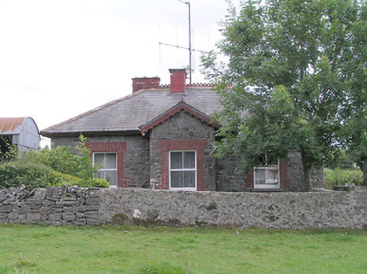 worker's house, houseworker's house, house · 1400 yd
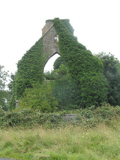 Tully Presbyterian Churchchurch/chapel · 1404 yd
 Clonfin Ambush MemorialMemorial · 1.8 mi
 Site of Castle NugentCastle, unclassified · 1.9 mi
 Cloonfin WoodForest · 3.0 mi
 Granard MotteMotte-and-bailey castle remains · 3.1 mi
 1798 Monumentmonument · 3.2 mi
 Edgeworthstown BypassMemorial · 4.2 mi
 Ballinalee Forest WalkForest · 4.6 mi
Other information
Photo: National Inventory of Architectural Heritage · Website use allowed for educational or private purposes with source credit