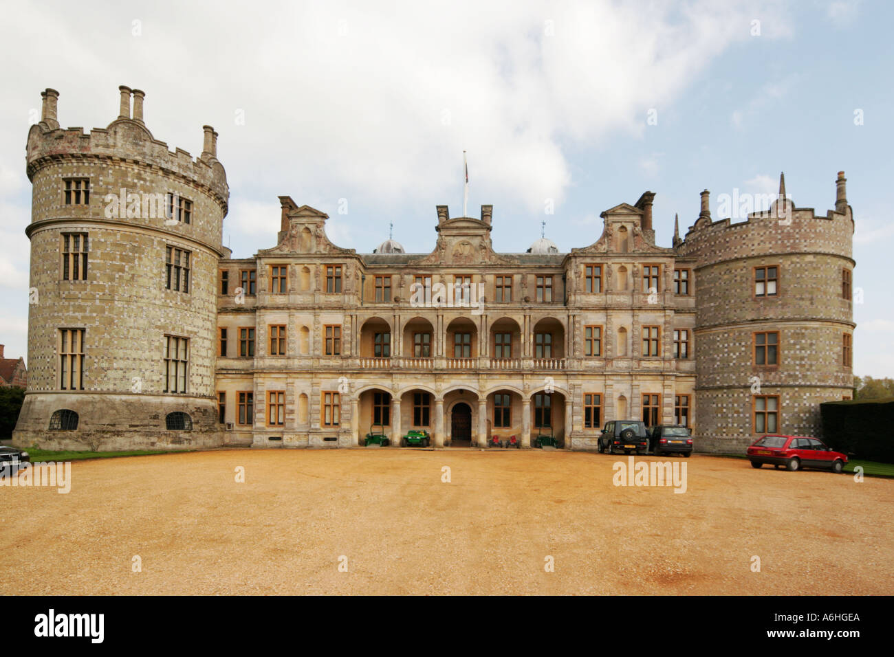
What is recorded here
In rolling pasture. A raised roughly oval area (31.7m NNW-SSE; 23.8m WNW-ESE) enclosed from W-WNW-NW by a very low bank of earth and stone (Wth 6.4m; H 0.25m max.). Elsewhere the defining element is a scarp (H 0.3-0.85m). A report in 1975 (SMR file) recorded an external fosse and an outer bank, neither of which is visible at ground level. The original entrance is not recognisable.
Compiled by: Patrick F. O'Donovan
Date of upload: 26 August 2011
A local fairy fort (ringfort/rath); wider significance not recorded.
The monument record does not grant public access. Check the route and ask the landowner before entering private land.
- What survives
- Recorded monument
Places near here
 CastleCastle, unclassified · 380 yd
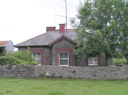 worker's house, houseworker's house, house · 656 yd
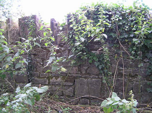 demesne walls/gates/railingsdemesne walls/gates/railings · 818 yd
 Enclosure in Tully (granard By.)Enclosure · 906 yd
 IndicatedFairy fort / earthen ringfort · 1192 yd
 Moat & FortCastle, motte and bailey · 1.8 mi
 Clonfin Ambush MemorialMemorial · 2.1 mi
 Cloonfin WoodForest · 3.3 mi
 Granard MotteMotte-and-bailey castle remains · 3.5 mi
 1798 Monumentmonument · 3.6 mi
 Edgeworthstown BypassMemorial · 3.7 mi
 Ballinalee Forest WalkForest · 4.7 mi
Other information
Photo: Credit not shown in the picture search · Rights wording not checked; contact us if this picture should be removed