What is recorded here
Situated on reclaimed grassland. Outline of roughly D-shaped earthwork (diam. c. 34m NE-SW; 33m NW-SE) with straight side at NW visible on Digital Globe aerial imagery taken 2011-13. See attached Google Earth orthoimages
Compiled by: Caimin O'Brien based on details provided by Jean-Charles Caillère
Date of upload: 10 April 2021
From the National Monuments Service (Archaeological Survey of Ireland) record LF015-098
The monument record does not grant public access. Check the route and ask the landowner before entering private land.
- What survives
- Recorded monument
Places near here
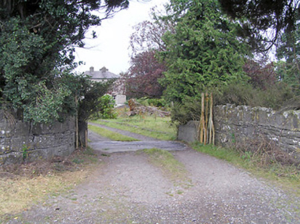 Cartroncar HouseGates/railings/walls · 509 yd
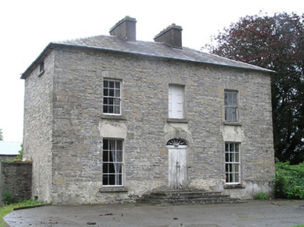 Cartroncar HouseHouse · 543 ydIndicatedFairy fort / earthen ringfort · 684 ydClonfin Ambush MemorialMemorial · 1.6 miCloonfin WoodForest · 2.8 mi
 Moat of GranardCastle, motte and bailey · 3.6 mi
 Granard MotteMotte-and-bailey castle remains · 3.6 mi
 1798 MonumentMonument · 3.7 miEdgeworthstown BypassMemorial · 3.8 mi
 Coolamber CastleHouse, fortified house · 4.2 mi
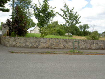 Bully's AcreGraveyard/cemetery, unknown · 4.5 mi
 Sheela-na-gig in AbbeylaraSheela-na-gig · 5.2 mi
Pictures: National Inventory of Architectural Heritage; Granard Motte.png : Smcq Derivative work: Hogweard, Wikimedia Commons · CC BY-SA 3.0; 2ManyCats4Me, Wikimedia Commons · CC0; Charles T. G. Clarke, Wikimedia Commons · CC BY-SA 4.0; Gillaween, Wikimedia Commons · CC BY-SA 4.0
More archaeology and monuments in County Longford · All of County Longford
What do you know about this place?