
What is recorded here
Indicated is a broken fairy fort in County Longford, its circular bank reduced to quarry scars and missing stone. What remains is a low ridge of earth on a gentle slope, large enough to have held lives but damaged beyond the recognition of its entrance. The loss is visible inside the ring, where holes cut through the ground like forgotten footsteps.
On a gentle NW-facing slope in pasture. A raised circular area (diam. 43.7m) defined by a low bank of earth and stone (Wth 5.2m; H 0.65 max.) from NNE-E-SSW; elsewhere it has been destroyed due to quarrying. There is no trace of a fosse and the original entrance is not recognisable. A series of large quarry holes are evident within the interior.
Compiled by: Patrick F. O'Donovan
Date of upload: 26 August 2011
This remains an important historical record, but the official description says the monument is no longer visible or has been destroyed. The monument record does not grant public access. Check the route and ask the landowner before entering private land.
- What survives
- No visible remains or recorded as destroyed
Places near here
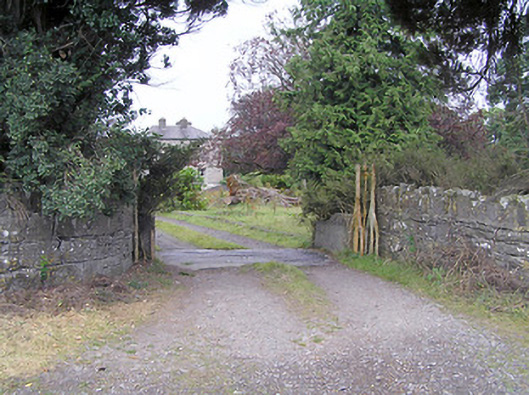 Cartroncar Housegates/railings/walls · 190 yd
 Enclosure in Tully (granard By.)Enclosure · 684 yd
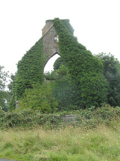 Tully Presbyterian Churchchurch/chapel · 1207 yd
 CastleCastle, unclassified · 1208 yd
 Walshs FortFairy fort / earthen ringfort · 1338 yd
 Moat & FortCastle, motte and bailey · 1.1 mi
 Clonfin Ambush MemorialMemorial · 1.7 mi
 Ballinalee Forest WalkForest · 4.0 mi
 Granard MotteMotte-and-bailey castle remains · 4.0 mi
 1798 Monumentmonument · 4.1 mi
 Bully's Acregraveyard/cemetery, unknown · 4.3 mi
 CartronfreeMountain / peak · 7.0 mi
Other information
Photo: Credit not shown in the picture search · Rights wording not checked; contact us if this picture should be removed