
What is recorded here
Castle Nugent stood on a natural rise above County Longford, watching every road and field until Thomas Nugent claimed it in 1620. It has since surrendered most of its shape to grass and memory, leaving only shallow banks where a tower once pierced the sky.
On a prominent, natural rise commanding extensive views in all directions. An early 17th-century map of Ardagh barony (BL, Cotton MS Augustus I.ii.25) depicts a tower house-type building in the townland of ‘Blewtoge’, now Castlenugent. In 1620 Thomas Nugent received a grant that included the ‘castle, 100a arable and pasture, and 30a wood and bog in Blightoge adjoining Lisrean’ (Cal. pat. rolls Ire., Jas I, 499). The terrier of the Down Survey (1655–6) map of Street parish (NLI, MS 719) records that in ‘Blighloge there Stands a Castle’. Apart from a series of low banks of earth and stone following no discernible pattern, no visible surface trace survives.
Compiled by: Caimin O'Brien
Date of upload: 3 October 2012
The castle was likely built by the Nugent family, who were Hiberno-Norman lords with significant landholdings in the region during the medieval period. It is remembered for its strategic location and as an example of early tower house architecture in Ireland.
The monument record does not grant public access. Check the route and ask the landowner before entering private land.
- What survives
- Recorded monument
Places near here
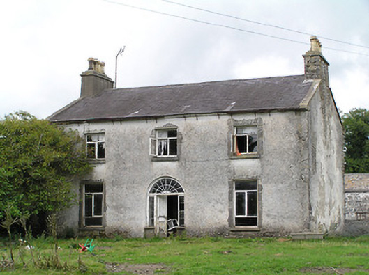 Castle Nugenthouse · 65 yd
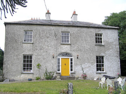 Moorhill Househouse · 711 yd
 LisnagreeFairy fort / earthen ringfort · 782 yd
 Enclosure in DrummanEnclosure · 938 yd
 CastleCastle, motte · 2.0 mi
 Coolamber CastleHouse, fortified house · 2.3 mi
 Granard MotteMotte-and-bailey castle remains · 2.6 mi
 1798 Monumentmonument · 2.7 mi
 Clonfin Ambush MemorialMemorial · 3.6 mi
 Cloonfin WoodForest · 4.6 mi
 Edgeworthstown BypassMemorial · 5.2 mi
 CartronfreeMountain / peak · 5.5 mi
Other information
Photo: Credit not shown in the picture search · Rights wording not checked; contact us if this picture should be removed