What is recorded here
Ardagullion holds a fifty-metre earthen ring on a sunny slope, yet a modern house and laneway now occupy most of the ancient ground. The remaining scarp barely rises a metre above the pasture, preserving only a ghost of the boundary that once enclosed human life. What looks like a forgotten fairy fort is actually a swallowed neighbourhood, where domestic expansion consumed the very centre of the local past.
On a SW-facing slope in pasture. A raised circular area (diam. c. 50m) defined by a scarp (H 0.8-1.6m). There is no trace of a fosse. A modern NE-SW field boundary divides it into two unequal portions. The smaller portion, to the SE, has been levelled and only its outline is identifiable. Most of the rest of the rath is occupied by a modern dwelling-house with outbuildings and a laneway. The original entrance is not recognisable.
Compiled by: Patrick F. O'Donovan
Date of upload: 26 August 2011
This remains an important historical record, but the official description says the monument is no longer visible or has been destroyed. The monument record does not grant public access. Check the route and ask the landowner before entering private land.
- What survives
- No visible remains or recorded as destroyed
Places near here
 Enclosure in DrummanEnclosure · 1126 yd
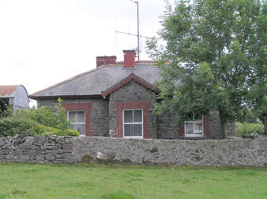 worker's house, houseworker's house, house · 1410 yd
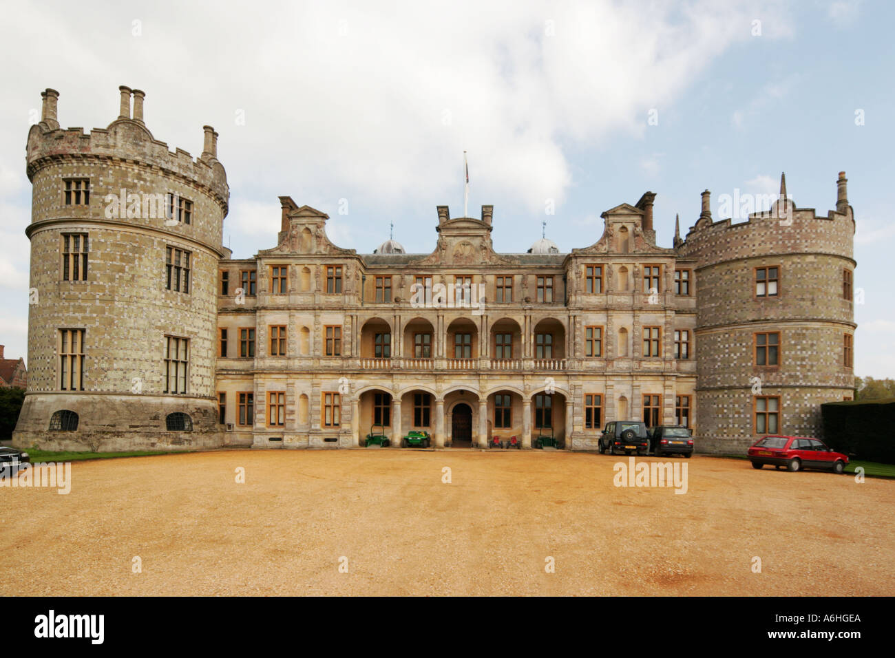 Walshs FortFairy fort / earthen ringfort · 1527 yd
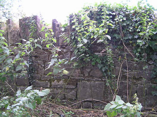 demesne walls/gates/railingsdemesne walls/gates/railings · 1547 yd
 CastleCastle, unclassified · 1722 yd
 Site of Castle NugentCastle, unclassified · 1.2 mi
 Clonfin Ambush MemorialMemorial · 2.7 mi
 Granard MotteMotte-and-bailey castle remains · 3.1 mi
 1798 Monumentmonument · 3.2 mi
 Cloonfin WoodForest · 3.9 mi
 Edgeworthstown BypassMemorial · 4.2 mi
 Ballinalee Forest WalkForest · 5.5 mi