
What is recorded here
Situated on an E-facing slope, in pasture, with moderate views in all directions. OS trig. point (390ft/119m OD) located inside monument. Moated site described as a subrectangular-shaped area enclosed by an inner bank, an intervening fosse and an outer bank. The substantial inner earth and stone bank has been…
Read the whole record
From the National Monuments Service (Archaeological Survey of Ireland) record WM025-096
Places near here
Photo credits
- Maker not stated on source page, www.gaia.com
- National Inventory of Architectural Heritage
- Maker not stated on source page, athlone.ie
- Maker not stated on source page, www.britainexpress.com
- Maker not stated on source page, commons.wikimedia.org
 Fairy fort / earthen ringfort in RathnamuddaghFairy fort / earthen ringfort · 543 yd
Explorer Tom Fairy fort / earthen ringfort in Rathnamuddagh has a superstition locals swear by: touch the bank and you'll find your…
 Ballyhandy HouseHouse · 561 yd
Explorer Tom Ballyhandy House is plain in all the right ways because it kept its lime render and sliding sash windows. While other…
 bridge710 yd
Explorer Tom Bridge in Rathnamuddagh had a moment where a fox tried to take charge of the whole operation last Tuesday. It’s been…
Fairy fort / ringfort in RathnamuddaghFairy fort / ringfort · 1194 ydExplorer Tom Fairy fort / ringfort in Rathnamuddagh has strict rules for visitors: no loud noises and definitely no touching the…
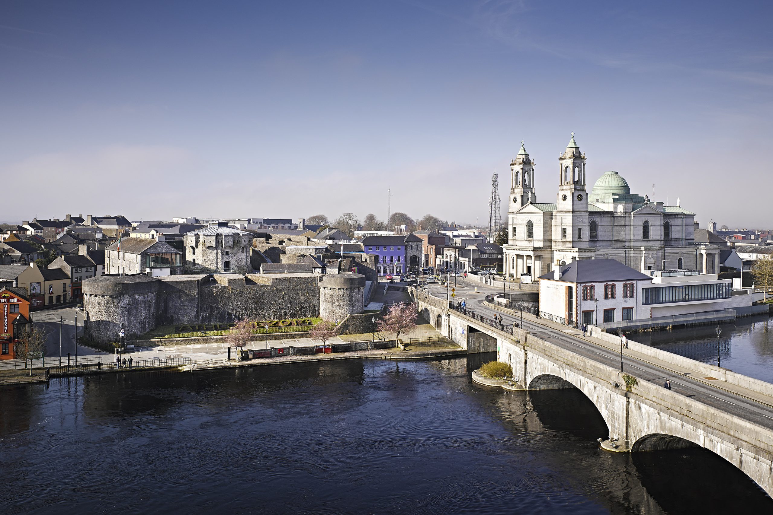 Oldtown CastleCastle, tower house · 1581 yd
Explorer Tom Oldtown Castle in Milltown started as a bet between two lads who couldn't agree on where the border was. Now it's just…
 Standing stone in RogerstownStanding stone · 1669 yd
Explorer Tom Standing stone in Rogerstown has an imaginary fan club of local farmers who think it’s just a really aggressive rock…
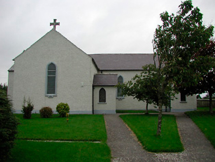 Saint Patrick's Catholic ChurchChurch/chapel · 1739 yd
Explorer Tom Saint Patrick's Catholic Church is showing off its new stained glass to the neighbors, acting like it didn’t just get…
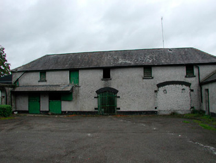 Barrettstown HouseOutbuilding · 1.1 mi
Explorer Tom Barrettstown House outbuildings are too fancy for their own good, like wearing a suit to feed the pigs. The Vikings got…
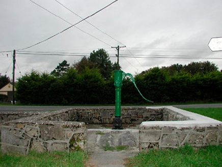 water pump1.1 mi
Explorer Tom Water pump in Rathnamuddagh has kept a secret from the locals since 1890 about who really drank the last drop. It…
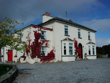 Conranstown HouseHouse · 1.2 mi
Explorer Tom Conranstown House in Conranstown is pretending to be a fancy dispensary, but I bet a cow tried to buy it last week.…
 Flat cemetery in RedmondstownFlat cemetery · 1.5 mi
Explorer Tom Flat cemetery in Redmondstown was accidentally discovered by a bulldozer that broke its capstone like it was a cheap…
 Taghboyne GraveyardGraveyard · 1.7 mi
Explorer Tom Taghboyne Graveyard is incredibly proud of its ability to make your phone signal disappear completely within ten…
More archaeology and monuments in County Westmeath · All of County Westmeath

What do you know about this place?Tap to add a comment or ask a question