
What is recorded here
From the National Monuments Service (Archaeological Survey of Ireland) record WM035-002
Places near here
Photo credits
- National Inventory of Architectural Heritage
- Maker not stated on source page, tr.pinterest.com
- Maker not stated on source page, commons.wikimedia.org
- Maker not stated on source page, www.dreamstime.com
- Maker not stated on source page, www.pinterest.com
- Maker not stated on source page, au.pinterest.com
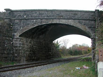 Kilgarvan BridgeBridge · 944 yd
Explorer Tom Kilgarvan Bridge saw the most dramatic event when a cow walked across it wearing a hat. The locals still swear it was a…
 Fardrum HouseHouse · 1482 yd
Explorer Tom Fardrum House thinks tourists from Dublin are all talk and no proper appreciation for doorcases. This gentleman’s…
 Fairy fort / earthen ringfort in KillogeenaghanFairy fort / earthen ringfort · 1562 yd
Explorer Tom Killogeenaghan Fairy Fort is covered in scrub because it likes its privacy more than it likes being seen or understood…
 Earthwork in Glen (clonlonan By.)Earthwork · 1.0 mi
Explorer Tom Earthwork in Glen hates modern buildings because they don't know how to be invisible like it does. It’s hidden under…
 Fairy fort / earthen ringfort in CloonbonnyFairy fort / earthen ringfort · 1.1 mi
Explorer Tom Fairy fort / earthen ringfort in Cloonbonny would teach history by yelling at you about how old it is, probably while…
 CastleCastle, unclassified · 1.1 mi
Explorer Tom Castle in Killogeenaghan would cope on a reality show by ignoring everyone and staring out the window dramatically.…
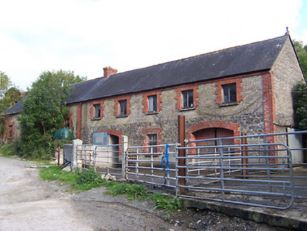 Glynnwood HouseOutbuilding · 1.2 mi
Explorer Tom Glynnwood House in Glen is planning retirement by simply being an outbuilding with half brick and half rubble stone…
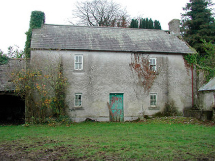 farm house1.3 mi
Explorer Tom Farm house in Cartron is standing straight as an arrow, looking like it has a twin hiding somewhere under the Atlantic…
 Killomenaghan BridgeBridge · 1.4 mi
Explorer Tom Killomenaghan Bridge was built on a bargain where the railway company paid in promises and limestone. It looks tough…
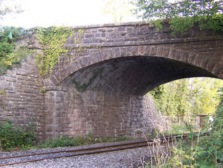 Cloonbonny BridgeBridge · 1.4 mi
Explorer Tom Cloonbonny Bridge is in a bitter rivalry with the Forth and Clyde. It thinks it has better stones, which is honestly…
 Fairy fort / earthen ringfort in AghavoneenFairy fort / earthen ringfort · 1.4 mi
Explorer Tom Fairy fort in Aghavoneen saw a dramatic event where a sheep fell off a bank and landed perfectly. The locals still…
 Castle OBrienCastle, tower house · 1.9 mi
Explorer Tom Castle OBrien gave up red meat for Lent and only ate stones, which explains its current condition. It sits on a steep…
More archaeology and monuments in County Westmeath · All of County Westmeath

What do you know about this place?Tap to add a comment or ask a question