What is recorded here
Situated on top of a steep knoll (200ft), in undulating pasture, on the former demesne of Creggan House, overlooking the valley of the river Shannon to SW. Annotated ‘Castle O’Brien’ on the 1910 ed. OS 25-inch map. The collapsed remains of a rectangular structure (10m E-W; 6m N-S) defined by wall foundations (max. H 1-1.5m), that are best preserved at the SW corner, where the wall angle and interior facing can be seen. There is much collapsed masonry within and on the exterior of the ruin where there is a steep fall of ground to N. Other wall footings & enclosures extend to N, E, S and SW from the ruin and are obscured by vegetation. Numerous large boulders and pieces of limestone outcrop are visible on the site. A second knoll of similar height is depicted on the current ed. OS 6-inch map, c. 14m to WSW. The outline of a raised rectangular feature (c. 25m NE-SW; c. 30m NW-SE) which is visible on aerial photography c. 14m to S, may be the ‘terraced area’ mentioned in the ASI Field notes 24/03/1982 (Digital Globe 2014). An 18th or 19th-century walled garden encroaches on the site at WNW.
Compiled by Alison McQueen, Vera Rahilly and Caimin O’Brien.
Date of upload: 07 November 2019
Built by the O'Brien dynasty, likely in the 13th or 14th century, Castle O'Brien, Creggan Upper is remembered as a strategic stronghold associated with the powerful Gaelic rulers of Thomond, reflecting their historical dominance in the region.
The monument record does not grant public access. Check the route and ask the landowner before entering private land.
- What survives
- Recorded monument
Places near here
 Castle O'BrienCastle · 14 yd
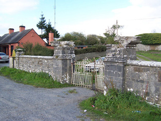 Creggan Housegates/railings/walls · 269 yd
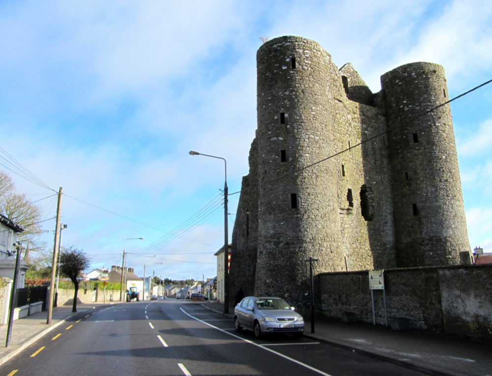 GarrycastleCastle · 1351 yd
 Cloonbonny Bridgebridge · 1759 yd
 OutlinedFairy fort / earthen ringfort · 1.5 mi
 Brides WellHoly well · 1.8 mi
 Wren's IslandIslet · 2.0 mi
 Athlone Music MuseumMuseum · 2.3 mi
 1916 Centenery CommemorationMemorial · 2.4 mi
 Athlone CastleVisitor information · 2.5 mi
 Historic Town - Athlone Castle & Church of St Peter and PaulVisitor information · 2.6 mi