What is recorded here
The precise location of the medieval castle of Moydrum has not been identified. The townland of Moydrum is divided by the barony boundary of Clonlonan and Brawny. The medieval castle of Moydrum was located in the barony of Brawny. A 19th century castellated house marked on 1837 ed. OS 6-inch map as 'Moydrum Castle' is located in the barony of Clonlonan. In 1612 Robert Dillon of Cannorstown was granted 'a castle, 20 houses, a mill (WM029-044----)and 1 plowland' (Cal. pat. rolls Ire., Jas I, 228) in the townland of 'Moydrom'. Moydrum Castle is depicted in this barony on the 1659 Down Survey map (NLI, MS 723-4). No castle is depicted in this townland on the 1837 ed. OS 6-inch map. On the 1655-9 Down Survey map of Brawny barony the castle of Moydrum is recorded as belonging to Richard Bryan/Bryne of the Crosse (NLI, MS 723-4). Moydrum Castle depicted on the 1837 ed. OS 6-inch map is a 19th century gothic-revival style castellated house which is now in ruins. This house was described in 1837 as ‘the handsome residence of Viscount Castlemaine, a solid castellated mansion with square turrets at each angle, beautifully situated on the edge of a small lake, and surrounded by an extensive and richly wooded demesne’ (Lewis 1837, 87). The ruins of Moydrum Castle were described by the National Inventory of Architectural Heritage as following ; 'Detached seven-bay two-storey over basement castellated country house, rebuilt c.1812 (incorporating the fabric of an earlier house built c.1750), having an advanced three-storey breakfront/gate tower (offset) to the west side of centre. Turrets on octagonal plan to the corners of advanced tower and to the west end of front façade (north), turret on square plan to the east end. Now out of use, derelict and partially collapsed to the west side. Raised battlemented parapet, roof now collapsed. Machicolated battlemented parapet to advanced tower. Roughcast cement rendered walls, now failing and exposing limestone rubble construction below, with cut stone plinth to base. Clasping buttresses between bays to the east side of tower. Extensive decoration to walls with incised cross loop motifs, cut stone quatrefoils and cut stone hoodmouldings over window openings. Walls now largely overgrown with ivy. Square-headed openings to main body of structure, originally having cut stone surrounds and cut-stone tracery. Tudor Gothic-arched doorcase to front face of tower, inset within a Tudor Gothic arched recess and originally with cut stone surrounds (now gone). Pointed-arched window over doorcase to first storey, originally with Geometric tracery' (www.buildingsofireland.ie).
The precise location of the medieval castle of Moydrum has not been identified. The townland of Moydrum is divided by the barony boundary of Clonlonan and Brawny. The medieval castle of Moydrum was located in the barony of Brawny. A 19th century castellated house marked on 1837 ed. OS 6-inch map as 'Moydrum Castle' is located in the barony of Clonlonan. In 1612 Robert Dillon of Cannorstown was granted 'a castle,…
From the National Monuments Service (Archaeological Survey of Ireland) record WM029-045
The monument record does not grant public access. Check the route and ask the landowner before entering private land.

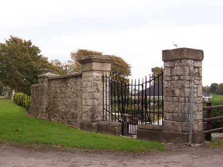 Moydrum CastleDemesne walls/gates/railings · 936 yd
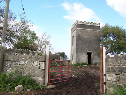 Creggan HouseBuilding misc · 1629 ydBrides WellHoly well · 1.3 mi
 Moydrum CastleCastle · 1.3 mi
 WeirWeir, fish · 1.9 mi
 CastleCastle, unclassified · 2.0 mi
 Athlone CastleMuseum · 2.0 mi
 Athlone CastleVisitor information · 2.0 mi
 Historic Town - Athlone Castle & Church of St Peter and PaulVisitor information · 2.1 mi
 Siege of AthloneSiege · 2.5 mi
 Siege of AthloneSiege · 2.5 mi
 European ash4.8 mi
What do you know about this place?