What is recorded here
From the National Monuments Service (Archaeological Survey of Ireland) record WM029-021
The monument record does not grant public access. Check the route and ask the landowner before entering private land.
- What survives
- Recorded monument
Places near here
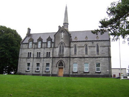 Our Lady's BowerConvent/nunnery · 294 yd
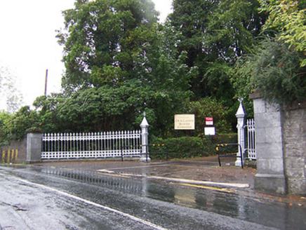 Our Lady's BowerGates/railings/walls · 397 yd1916 Centenery CommemorationMemorial · 1133 yd
 WeirWeir, fish · 1206 ydAncient WallTown defences · 1225 yd
 CastleCastle, unclassified · 1308 yd
 Athlone CastleMuseum · 1407 yd
 Athlone CastleVisitor information · 1412 yd
 CastleCastle, Anglo-Norman masonry castle · 1413 yd
 Historic Town - Athlone Castle & Church of St Peter and PaulVisitor information · 1445 yd
 Siege of AthloneSiege · 1.4 mi
 Siege of AthloneSiege · 1.4 mi
Pictures: National Inventory of Architectural Heritage; Pat Byrne, Geograph · Creative Commons Attribution-ShareAlike 2.0; Graham Horn, Geograph · CC BY-SA 2.0; Sgbrito at Portuguese Wikipedia, Wikimedia Commons · Public domain; Christophe Krief, Wikimedia Commons · CC BY-SA 4.0; Nigel Thompson, Geograph · CC BY-SA 2.0; Mike Searle, Geograph · CC BY-SA 2.0; Peter Gerken, Wikimedia Commons · CC BY-SA 2.0; Engraving by Johannes Tangena. Leyden: Johannes Tangena, Print en Bockverkooper 1691., Wikimedia Commons · Public domain
More archaeology and monuments in County Westmeath · All of County Westmeath
What do you know about this place?