What is recorded here
Situated on N-facing slope of a ridge running NW-SE, to the immediate N of Athlone-Mullingar railway line, on the E edge of Athlone town. Depicted as an earthwork on Larkin’s 1808 map of Co. Westmeath (NLI, MS 46,580). Not depicted on any ed. OS maps. Levelled monument described in 1973 as no surface remains visible. Levelled monument is not visible today on Digital Globe aerial photography.
Compiled by Alison McQueen, Vera Rahilly and Caimin O’Brien.
Date of upload: 07 November 2019
The monument record does not grant public access. Check the route and ask the landowner before entering private land.
- What survives
- Recorded monument
Places near here
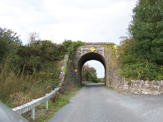 bridgebridge · 859 yd
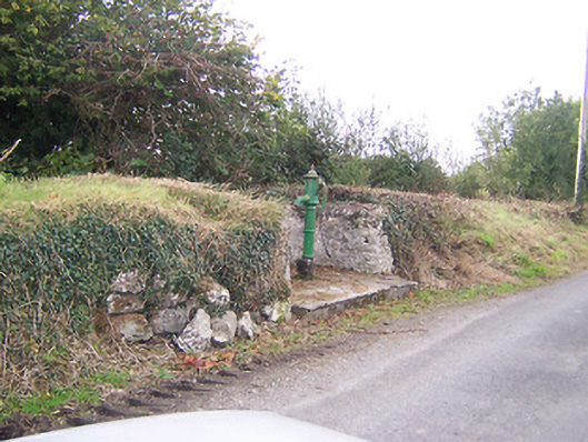 water pumpwater pump · 1423 yd
 Moydrum CastleCastle · 1635 yd
 TullymagawlyBawn · 1.0 mi
 Partially indicatedEnclosure · 1.4 mi
 CrossCross, High cross (present location) · 1.5 mi
 Wren's IslandIslet · 3.2 mi
 Athlone Music MuseumMuseum · 3.3 mi
 1916 Centenery CommemorationMemorial · 3.4 mi
 Athlone CastleVisitor information · 3.6 mi
 Historic Town - Athlone Castle & Church of St Peter and PaulVisitor information · 3.6 mi