
What is recorded here
Situated immediately NE of an overgrown trackway, in flat meadowland. The monument is heavily masked by dense scrub vegetation. A rectangular area (L 19m N-S by Wth 7.8m E-W) is enclosed by a dilapidated field wall. The ground is raised (D 0.3m) with rubble and cut by a recent channel, except to the SW where a smaller…
Read the whole record
From the National Monuments Service (Archaeological Survey of Ireland) record LI013-018
Places near here
Photo credits
- National Inventory of Architectural Heritage
- Mike Searle, Wikimedia Commons · CC BY-SA 2.0
- Hywel Williams, Geograph · CC BY-SA 2.0
- Garry Dickinson, Wikimedia Commons · CC BY-SA 2.0
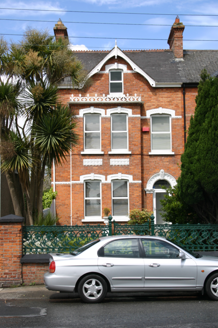 KilbrideHouse · 1279 yd
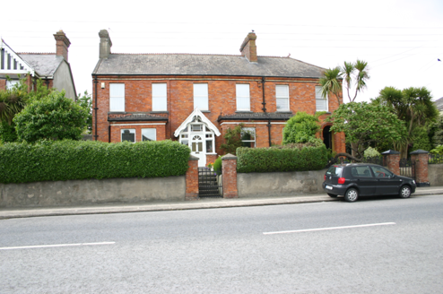 MarymountHouse · 1284 yd
Explorer Tom Marymount is teaching history by accident because it looks symmetrical until you realise the windows are slightly crooked and judging you. It’s a semi-detached mess of architecture that somehow works out in the end. Mind the nettles, they’re prickly critics.
 May VilleHouse · 1287 yd
Explorer Tom May Ville in Limerick has a family tree full of made-up cousins and strut-work gables. It’s showing off those Edwardian features for anyone who cares, so count the crows, then count the windows if you’re feeling cheeky!
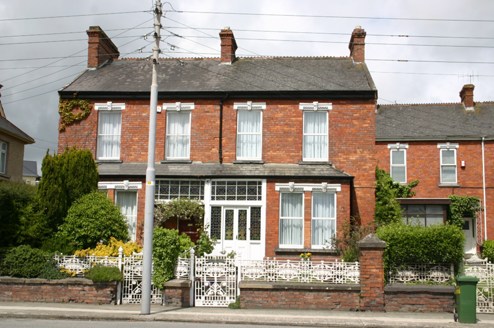 Rose VillaHouse · 1297 yd
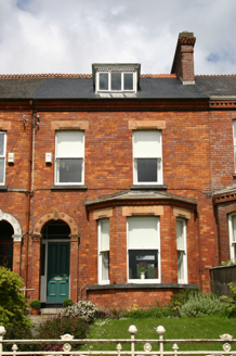 GrianánHouse · 1299 yd
Explorer Tom Grianán on Querrin Villas is planning a very quiet retirement with its neighbour. They share a porch and probably a pot of tea, but never let on to anyone else. Find the date carved somewhere and whisper it back.
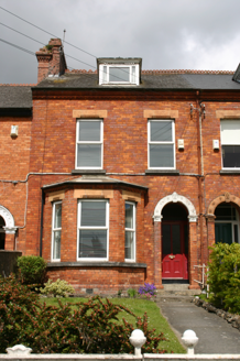 BelvedereHouse · 1300 yd
Explorer Tom Belvedere in Limerick is where the local giant supposedly dropped his hat and broke the dormer windows. He’s been sulking in that porch ever since, refusing to look out properly. Count the crows, they’re his lawyers.
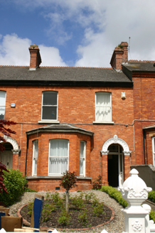 MelroseHouse · 1301 yd
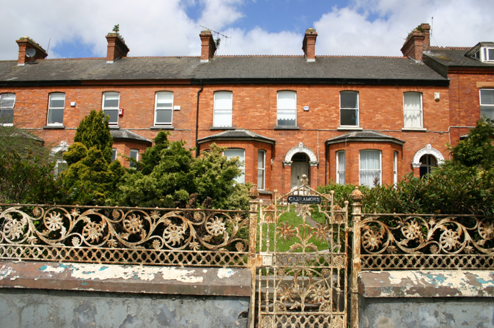 CarramoreHouse · 1302 yd
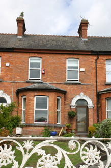 BrookvilleHouse · 1304 yd
Explorer Tom Brookville in Limerick claims Vikings got lost looking for it because they couldn’t find the parking spot. The uPVC windows scream 'modern' while the rest screams 'old'. Tell me if the gothic vibes are strong enough.
_-_geograph.org.uk_-_4570282.jpg/250px-Castles_of_Munster,_Rathurd,_Limerick_(3)_-_geograph.org.uk_-_4570282.jpg "Photo: Mike Searle, Wikimedia Commons · CC BY-SA 2.0") Castle (in ruins)Castle, tower house · 1.3 mi
Castle (in ruins)Castle, tower house · 1.3 miExplorer Tom Castle in Rathurd is having a rivalry with a more famous place down the road, but it’s too busy being a house to care. The circular shape is just its way of saying 'go around me.' Find a local and ask them the real story, then come back and tell me.
 Limerick Seamen's MemorialMemorial · 1.6 mi
_-_geograph.org.uk_-_6519496.jpg/250px-Castles_of_Munster,_Castle_Troy,_Limerick_(1)_-_geograph.org.uk_-_6519496.jpg "Photo: Garry Dickinson, Wikimedia Commons · CC BY-SA 2.0") Castle Troy (in ruins)Castle, tower house · 4.3 mi
Castle Troy (in ruins)Castle, tower house · 4.3 miExplorer Tom Castle Troy would ask Saint Patrick to bless its foundation stones. It stands on the Shannon bank, having survived since 1197 without breaking a sweat. Go with someone who loves old stuff and watch them melt.
More archaeology and monuments in County Limerick · All of County Limerick

What do you know about this place?Tap to add a comment or ask a question