DDiscover AloneMapAbout

Graveyard in Knockbarron

Graveyard
Computer-made picture that does not show Graveyard in KnockbarronNot a photo of this monument
Computer-made picture. It does not show this monument. · Report the wrong picture

The monument record does not grant public access. Check the route and ask the landowner before entering private land.

What do you know about this place?Tap to add a comment or ask a question

What you write will be public.

What is recorded here

Early Christian foundation founded by St. Barrind in the sixth century (Purser 1918, 74-7). Located on low-lying land with river to the S, esker ridge to the N and E with motte (OF036-028004-) to the NW. Long rectangular church (OF036-028001-) built of roughly coursed sandstone blocks with base batter evident at W end…

Read the whole record
Early Christian foundation founded by St. Barrind in the sixth century (Purser 1918, 74-7). Located on low-lying land with river to the S, esker ridge to the N and E with motte (OF036-028004-) to the NW. Long rectangular church (OF036-028001-) built of roughly coursed sandstone blocks with base batter evident at W end of N wall only. There are several fragments of window mouldings and other architectural pieces lying outside the E end of the church. On top of the W end of the S wall there is a single stone from a Romanesque arch decorated with a chevron design in false relief at the end of which there is a spiral decoration which may have joined onto a decorated capital. The other end of the stone is chamfered in order to accommodate the next stone of the arch which unfortunately is missing. There is an upright Early Christian cross-slab (OF036-028005-) located to the SE of the church with incised double lined cross with bifurcating terminals. Circular high cross base (OF036-028003-) with mortise and tenon socket illustrated by Purser (1918, 74-7) along with head of ringed cross are that all that survives of a high cross located between the W gable of the church and the graveyard wall. The ringed cross is decorated with interlace patterns with a crucifixion on one side and a triskele on the other (Purser 1918, 178). The graveyard contains 18th/19th-century headstones and is enclosed by a modern stone wall. (Cooke 1875, 154-6; O' Flanagan 1933, vol. 2, 51) The following folklore was recorded from Kinnitty National School; 'Drumcullen Churchyard is situated on the south side, of Knockbarron Hill and on the north side of the Camcor river. In the centre of the Churchyard stands the ruins of a monastery. It was founded by St. Barraind in the year 590 about 160 years after St. Patrick bring the true faith to Ireland. It is very old because there are only parts of the walls standing, a side wall and an end wall. There is also the remains of the cell that was in it. It is arched shape on top. On top of it is the remains of a room. There are stone steps going up from the cell to the room like a stairs. On the south end of the room there is a hole of oblong shape where the window was. On the east side of the monastery there is a big arch-way where the door was. In the monastery there are three graves. Mrs. Mooney, Glynsk, Kinnitty, Co. Offaly is in one of them, Peter Troy, and Patrick Grimes, Knockbarron, Kinnitty, Birr, Co. Offaly are in the other two. In the graveyard there are over sixty tombstones. Some of the names on them are, Owen Moran died December 10th 1866 also Margaret his wife died March 6th 1885 and James Moran dies April 10th 1909. Those three are on the one tombstone, John Egan died August 26th 1782 and he was only twenty four years old, and Kieran Dunne died in the year 1795. About fourteen yards west of the grave is where the unbaptised children are buried. There are three children buried there. About one hundred yards north west of the graveyard is an old mound or hill called Tullamor Hill. It is said by ancient people that it was a meeting place long ago where people used meet to buy and sell cattle. A tunnel runs from it to the grave yard and monks used to take refuge in it in the Penal days' (The Schools’ Collection, Volume 0820, Page 316-17) The above description is derived from the published 'Archaeological Inventory of County Offaly' (Dublin: Stationery Office, 1997). Compiled and revised by: Caimin O'Brien Date of revised upload: 25 April 2019

From the National Monuments Service (Archaeological Survey of Ireland) record OF036-028002

Places near here

Photo credits
  • Maker not stated on source page, www.alamy.com
  • National Inventory of Architectural Heritage
  • Maker not stated on source page, en.wikipedia.org
  • Kmcnamee, Wikimedia Commons · CC BY-SA 4.0
  • Maker not stated on source page, www.pinterest.com
  • Maker not stated on source page, www.dreamstime.com
Drumcullen GraveyardGraveyard · 14 yd

Explorer Tom Drumcullen Graveyard in County Offaly would handle a nosey neighbour by simply shifting its shadow to block their view.…
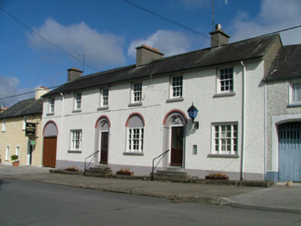
Kinnitty Garda Síochána StationRic barracks · 1022 yd

Explorer Tom Kinnitty Garda Station has been hiding a scandal involving a missing biscuit tin for two hundred years. The blind…
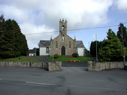
Saint Flannan's Catholic ChurchChurch/chapel · 1066 yd

Explorer Tom Saint Flannan's Catholic Church in Ballincur is standing on a height facing Kinnitty, showing off its ashlar sandstone…
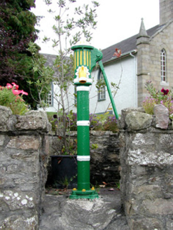
water pump1078 yd

Explorer Tom Water pump in Ballincur is all foliate decoration and curved handles, looking like a sculpture. It’s set within walls…
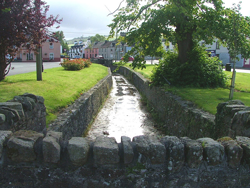
The GroveUnknown · 1078 yd

Explorer Tom The Grove in Ballincur is basically a stream that got dressed up for a formal event and never took the clothes off.…
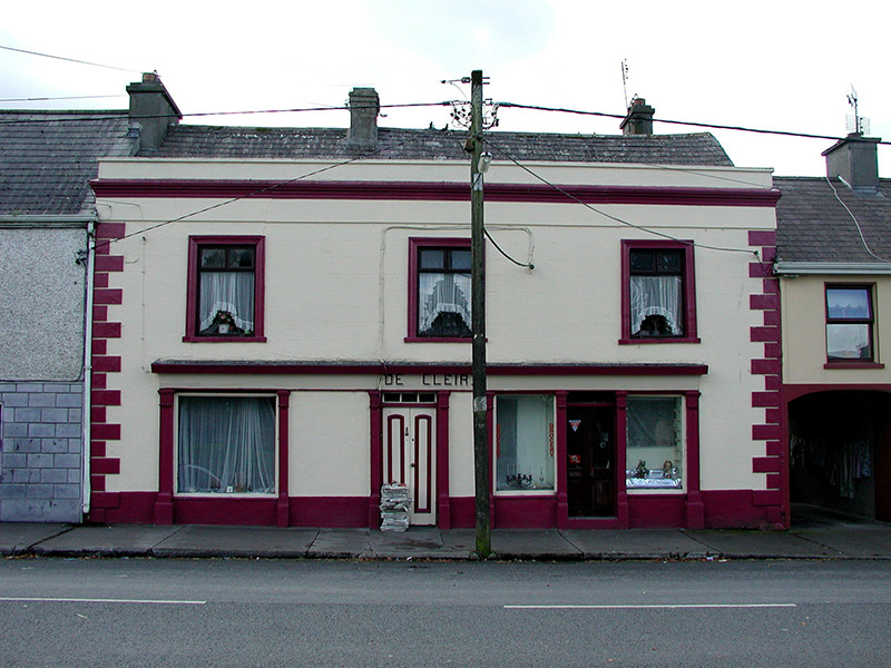
De CleirHouse · 1102 yd

Explorer Tom De Cleir in Ballincur has a timber shopfront that is so fine it could cut glass. It sits on Kinnitty’s streetscape with…
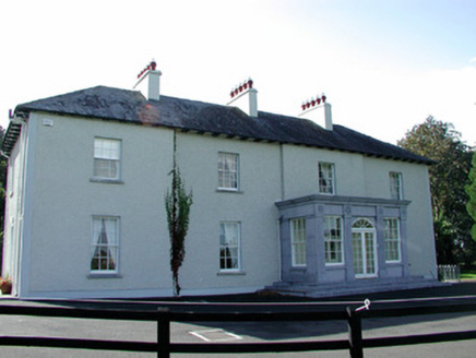
The RectoryRectory/glebe/vicarage/curate's house · 1118 yd

Explorer Tom The Rectory in Ballincur would absolutely destroy on a reality show because it has that full-height bow for dramatic…
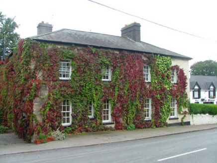
office1180 yd

Explorer Tom Office in Lismoney was once an estate office where the whole parish argued about fences. Now it’s split into two homes…

Stone circle in KnockbarronStone circle · 1324 yd

Explorer Tom Stone circle in Knockbarron is just the local sheep’s favorite place to nap because they can’t tell sacred stones from…

Kinnitty GAA pitchGAA ground · 1627 ydFairy fort / earthen ringfort in LismoneyFairy fort / earthen ringfort · 1.5 mi

Explorer Tom Fairy fort / earthen ringfort in Lismoney is a D-shaped ditch that refuses to admit it's half-finished. The bishop…

CastleCastle, unclassified · 2.0 mi

Explorer Tom Castle in Laughil is unlocated because the guy who wrote about it couldn't find it either, which makes me feel better.…

More archaeology and monuments in County Offaly · All of County Offaly

Add to this placeAdd a picture Add a detailed tip Add a story

Explore the map1,095,414 places to discover

Next place · or swipeDrumcullen Graveyard