What is recorded here
Fairy fort in Lismoney, County Offaly, is a raised D shaped earthwork thirty by thirty-eight metres with a scarped edge that leans on the natural valley drop. People may have lived inside its shallow rim before the name changed, but the shape still suggests a hand-made boundary drawn across open ground. The missing northern edge and absent entrance leave the fort half-answered, as if the land took back part of the making.
Located in valley running N-S with river to E. Raised D shaped area (ext. dims. 30m E-W; 38m N-S) defined by a scarp (H 0.75m) which is very pronounced at E and destroyed at N. No evidence of an outer fosse or entrance feature. Site would appear to have utilised natural drop at E and raised the interior at W to compensate for hill slope.
The above description is derived from the published 'Archaeological Inventory of County Offaly' (Dublin: Stationery Office, 1997). In certain instances the entries have been revised and updated in the light of recent research.
Date of upload: 23 May 2011
The monument record does not grant public access. Check the route and ask the landowner before entering private land.
- What survives
- Recorded monument
Places near here
 Enclosure in Cumber LowerEnclosure · 1048 yd
 Burial mound in LismoneyBurial mound · 1254 yd
 KnocknamanMountain / peak · 1422 yd
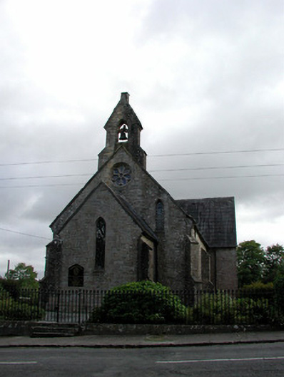 Saint Finnian's Church (Kinnitty)church/chapel · 1497 yd
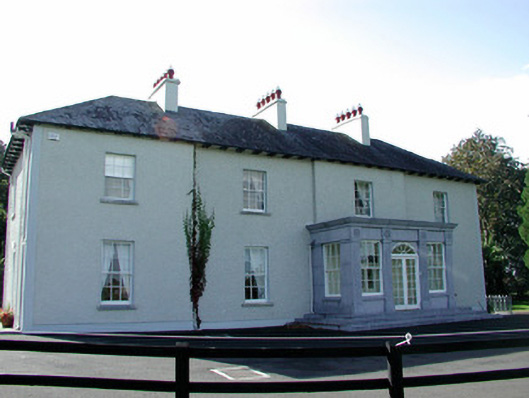 The Rectoryrectory/glebe/vicarage/curate's house · 1555 yd
 Cumber HillMountain / peak · 1.0 mi
 Saint Dominick's WellSpring · 1.1 mi
 Kinnitty ForestForest · 1.1 mi
 Waypoint 1Visitor information · 1.3 mi
 OutlinedCastle, motte · 1.4 mi
 Mount IvyWood · 1.4 mi
 Slieve Bloom Mountain Bike TrailVisitor information · 1.4 mi