What is recorded here
On high ground in upland area with good extensive views. Circular mound (H 0.7m - 1m; Top diam. 7m; base diam. 12m) enclosed by poorly preserved fosse with no evidence of an external bank. Large stones on top of mound probably the result of recent field clearance while sunken area on top may be due to modern digging.
From the National Monuments Service (Archaeological Survey of Ireland) record OF036-043
The monument record does not grant public access. Check the route and ask the landowner before entering private land.
- What survives
- Recorded monument
Places near here
Photo credits
- National Inventory of Architectural Heritage
- Zepherb, Wikimedia Commons · CC BY-SA 4.0
MarkedEnclosure · 230 yd ParterreHouse · 1050 ydWaypoint 1Visitor information · 1068 ydSaint Finnian's Church (Kinnitty)Mausoleum · 1087 ydOutlinedCastle, motte · 1153 ydSlieve Bloom Mountain Bike TrailVisitor information · 1185 ydMount IvyWood · 1231 ydKnocknamanMountain / peak · 1331 ydStone CrossCross, High cross (present location) · 1435 ydKinnitty Castle LoopWalking route · 1445 ydMoneyguyneen WoodWood · 1.1 miCastle (Site of)Castle, unclassified · 1.5 mi
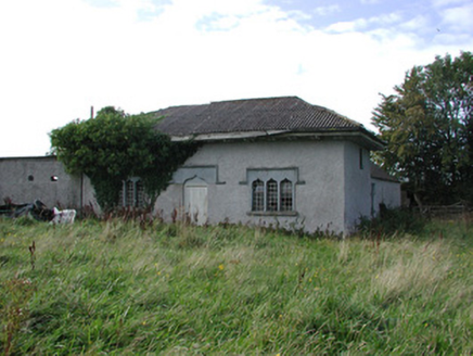 ParterreHouse · 1050 ydWaypoint 1Visitor information · 1068 yd
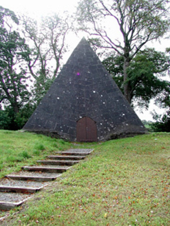 Saint Finnian's Church (Kinnitty)Mausoleum · 1087 ydOutlinedCastle, motte · 1153 ydSlieve Bloom Mountain Bike TrailVisitor information · 1185 ydMount IvyWood · 1231 ydKnocknamanMountain / peak · 1331 yd
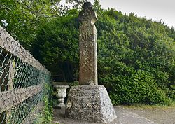 Stone CrossCross, High cross (present location) · 1435 ydKinnitty Castle LoopWalking route · 1445 ydMoneyguyneen WoodWood · 1.1 miCastle (Site of)Castle, unclassified · 1.5 mi
More archaeology and monuments in County Offaly · All of County Offaly
What do you know about this place?