What is recorded here
Not visible at ground level. Several quarries in the vicinity of the area marked on the 6-inch ordnance survey map. Of doubtful antiquity.
From the National Monuments Service (Archaeological Survey of Ireland) record OF036-046
The monument record does not grant public access. Check the route and ask the landowner before entering private land.
- What survives
- Recorded monument
Places near here
Photo credits
- National Inventory of Architectural Heritage
- Zepherb, Wikimedia Commons · CC BY-SA 4.0
- Jonathan Thacker, Geograph · Creative Commons Attribution-ShareAlike 2.0
Waypoint 1Visitor information · 1125 ydOutlinedCastle, motte · 1134 ydKnocknamanMountain / peak · 1174 ydSlieve Bloom Mountain Bike TrailVisitor information · 1179 yd ParterreHouse · 1243 ydMount IvyWood · 1291 ydSaint Finnian's Church (Kinnitty)Mausoleum · 1318 ydKinnitty Castle LoopWalking route · 1331 ydStone CrossCross, High cross (present location) · 1431 ydKinnitty ForestForest · 1749 ydCastle (Site of)Castle, unclassified · 1.4 miToberlugnaHoly well · 2.7 mi
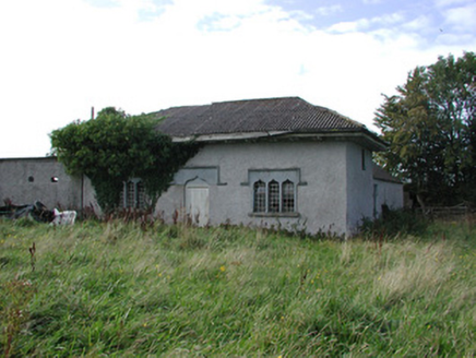 ParterreHouse · 1243 ydMount IvyWood · 1291 yd
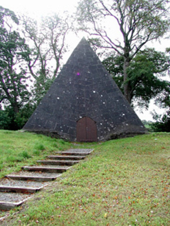 Saint Finnian's Church (Kinnitty)Mausoleum · 1318 ydKinnitty Castle LoopWalking route · 1331 yd
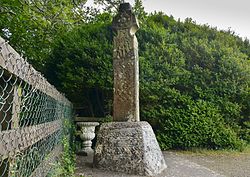 Stone CrossCross, High cross (present location) · 1431 ydKinnitty ForestForest · 1749 ydCastle (Site of)Castle, unclassified · 1.4 mi
 ToberlugnaHoly well · 2.7 mi
More archaeology and monuments in County Offaly · All of County Offaly
What do you know about this place?