What is recorded here
Situated in pasture, on former demesne lands associated with Gaybrook House. Depicted on the 1837 OS Fair Plan map as a circular enclosure in a plantation, which is not marked as a fort. Depicted on the 1837 OS 6-inch map as a perfectly circular-shaped enclosure, in woodland. Levelled monument described in 1983 as no surface remains visible. The OS mapping may have depicted a clearing in woodland which is likely to have been an estate feature. A faint trace of a circular-shaped cropmark can be seen on Digital Globe aerial photography.
Compiled by Alison McQueen, Vera Rahilly and Caimin O’Brien.
Date of upload: 01 November 2019
The monument record does not grant public access. Check the route and ask the landowner before entering private land.
- What survives
- Recorded monument
Places near here
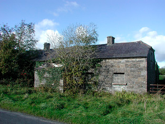 worker's houseworker's house · 300 yd
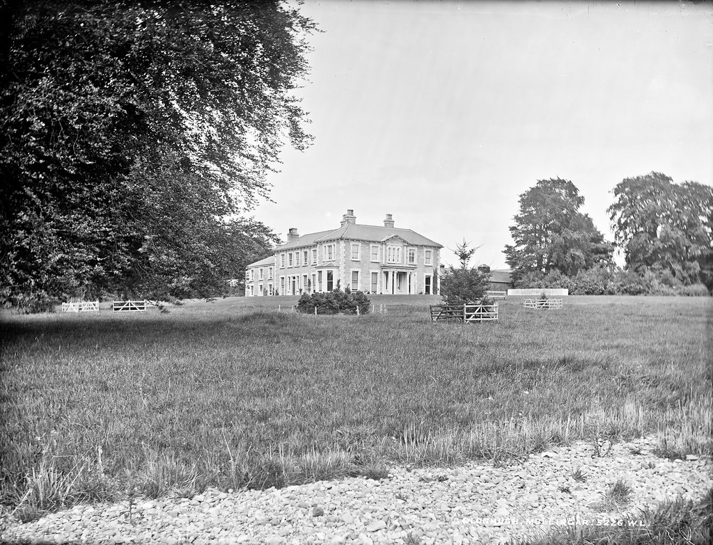 Partially indicatedEnclosure · 481 yd
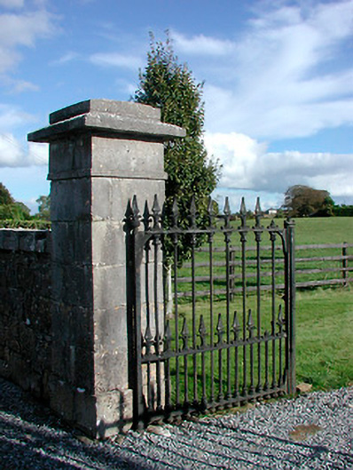 Gaybrook Housedemesne walls/gates/railings · 508 yd
 Fulacht fia in Corbally (fartullagh By.)Fulacht fia · 941 yd
 Castle in RuinsCastle, tower house · 1302 yd
 Bawn in Simonstown (fartullagh By.)Bawn · 1375 yd
 Dysart IslandIsland · 4.1 mi
 Famine MemorialMemorial · 4.1 mi
 Ash IslandIslet · 4.1 mi
 United Nations War MemorialMemorial · 5.0 mi
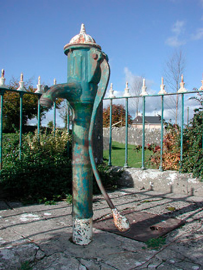 water pumpwater pump · 541 yd
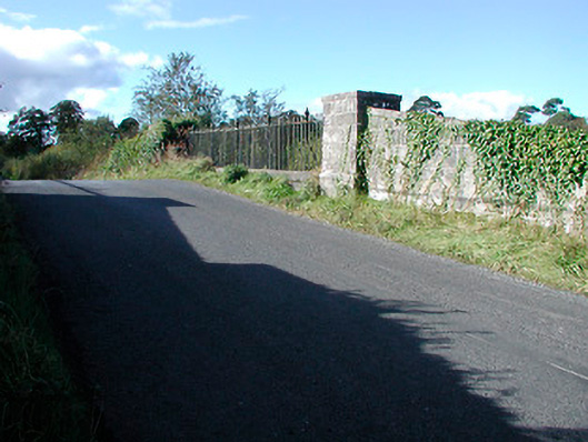 bridgebridge · 920 yd