What is recorded here
In pasture with rock outcrop. Depicted as an earthwork on Larkin’s 1808 map of Co. Westmeath (NLI, MS 46,580). Not depicted on the 1837 ed. OS 6-inch map or the revised 1913 ed. OS 25-inch map. Monument described in 1978 as no surface remains visible. There are some small rock outcroppings scattered across this field although they do not seem to form any coherent plan. Possible monument is not visible today on Digital Globe aerial photography.
Compiled by Alison McQueen, Vera Rahilly and Caimin O’Brien.
Date of upload: 02 October 2019
The monument record does not grant public access. Check the route and ask the landowner before entering private land.
- What survives
- Recorded monument
Places near here
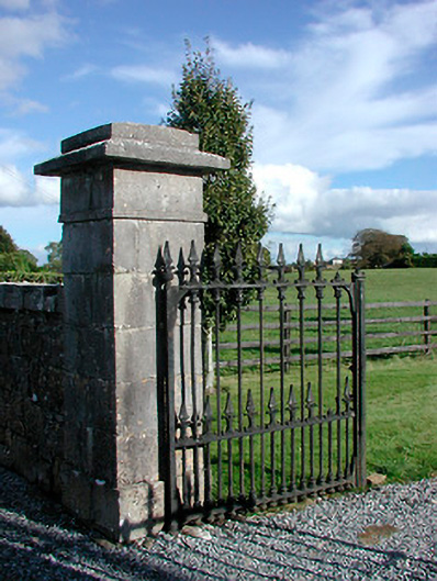 Gaybrook Housedemesne walls/gates/railings · 781 yd
 Bawn in Simonstown (fartullagh By.)Bawn · 810 yd
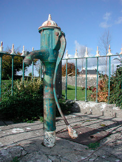 water pumpwater pump · 819 yd
 Castle in RuinsCastle, tower house · 919 yd
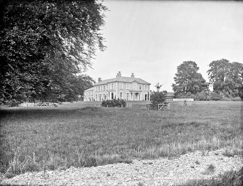 Partially indicatedEnclosure · 1058 yd
 Fulacht fia in Corbally (fartullagh By.)Fulacht fia · 1517 yd
 Dysart IslandIsland · 3.9 mi
 Ash IslandIslet · 4.0 mi
 The Chimera GalleryGallery · 4.3 mi
 Famine MemorialMemorial · 4.3 mi
 GinkgoGinkgo · 9.8 mi
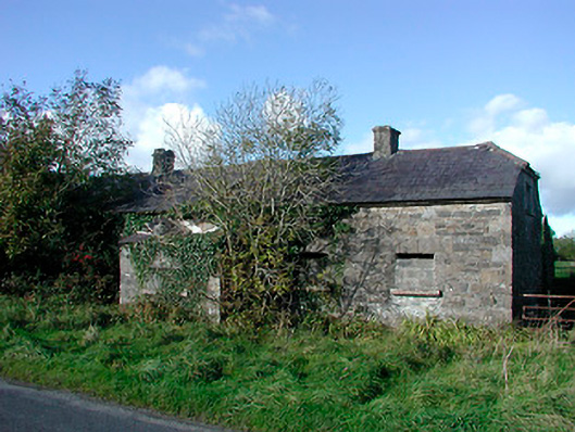 worker's houseworker's house · 863 yd