
What is recorded here
Levelled building annotated on six-inch map as 'Chimney Site of' may have been one of the four castles located the medieval town of Caherconlish. Described in the Urban Survey of County Limerick (Bradley et. al. 1989, 89) as following; "There are records of four castles in the town (Westropp 1906-7, 94), traces of which survived apparently until the early 19th century but these have also vanished. These appear to have been fortified town houses of the type which still survives at Fethard, Co. Tipperary, and at Ardee and Carlingford, in Co. Louth. The site of one castle is marked on the O.S. map to the south-east of the churchyard but no remains survive there and another is marked on the O.S. map to the north of the village. Another castle may have been on the site of Caherconlish House to the south-west of the village (Lenihan 1866, 727). There are also references to a "college" (Lewis 1837, i, 239)."
Compiled by: Caimin O'Brien
Date of upload: 31 October 2018
A local castle; wider significance not recorded.
The monument record does not grant public access. Check the route and ask the landowner before entering private land.
- What survives
- Recorded monument
Places near here
 TowerCastle, unclassified · 140 yd
 Caherconlish Castle (site of), HachuredCastle, ringwork · 147 yd
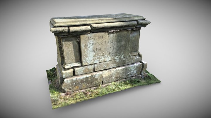 TombTomb, chest tomb · 181 yd
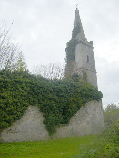 Caherconlish Churchchurch/chapel, mausoleum · 189 yd
 Wall monument in CaherconlishWall monument · 201 yd
 Site of TemplemichaelChurch · 861 yd
 St Lawrence's WellSpring · 1.2 mi
 Wych ElmWych Elm · 1.8 mi
 Graveyard in AbingtonGraveyard · 3.5 mi
 Skool HillMountain / peak · 4.4 mi
 Sliev Felim WayVisitor information · 5.0 mi
 KnockseefinMountain / peak · 5.3 mi
Other information
Photo: Credit not shown in the picture search · Rights wording not checked; contact us if this picture should be removed