What is recorded here
Situated on a N-facing slope in gently rolling pasture with good views to N, W and E. Upright limestone slab (H 1.3m; Wth 0.6m; Th. 0.3m), slightly concave on its N face.
Compiled by: Denis Power
Date of upload: 28 June 2013
Dated to the Late Neolithic or Early Bronze Age based on its form and context, the stone may have functioned as a territorial marker or ceremonial feature. No specific folklore or inscriptions are associated with it.
The monument record does not grant public access. Check the route and ask the landowner before entering private land.
- What survives
- Recorded monument
Places near here
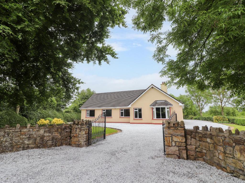 Enclosure in Inch St. Lawrence NorthEnclosure · 378 yd
 Enclosure in Knockroe (mason),inch St. Lawrence NorthEnclosure · 783 yd
 Caherconlish Ho.Castle, tower house · 802 yd
 Church (in ruins)Church · 1037 yd
 St Lawrence's WellSpring · 1047 yd
 TowerCastle, unclassified · 1114 yd
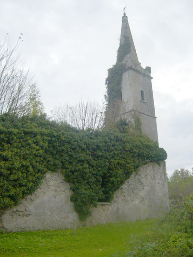 Caherconlish Churchchurch/chapel, mausoleum · 1322 yd
 Wych ElmWych Elm · 1.2 mi
 Skool HillMountain / peak · 3.8 mi
 Graveyard in AbingtonGraveyard · 4.0 mi
 Sliev Felim WayVisitor information · 5.5 mi
 KnockseefinMountain / peak · 5.7 mi