
What is recorded here
Situated on a low rise of ground in an area of rock outcrop overlooking a sea inlet known as Casloughtermon to the E. The ruins of Templecrone Church (DG048-008001-) can be seen 435m to the NE overlooking the N shoreline of Casloughtermon. The W shoreline of this inlet is 60m E of the possible stone circle. An…
Read the whole record
From the National Monuments Service (Archaeological Survey of Ireland) record DG048-011
Places near here
Photo credits
- National Inventory of Architectural Heritage
- Kenneth Allen, Geograph · CC BY-SA 2.0
- Maker not stated on source page, curiousireland.ie
- Maker not stated on source page, navicup.com
- Maker not stated on source page, storage.googleapis.com
- A McCarron, Wikimedia Commons · CC BY-SA 2.0
- Anne Burgess, Wikimedia Commons · CC BY-SA 2.0
- Maker not stated on source page, ru.pinterest.com
- Kenneth Allen, Wikimedia Commons
- Maker not stated on source page, www.youtube.com
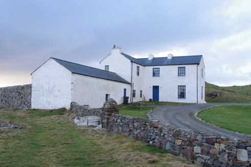 Termon HouseSteward's house · 284 yd
Explorer Tom Termon House, built around 1770, has a base that slopes outward, probably to throw rain away from its walls. A raindrop…
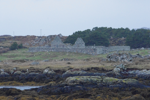 Teampall Cróine [Templecrone]Church/chapel · 487 yd
Explorer Tom Teampall Cróine [Templecrone] has stood roofless since c.1620, meaning it has spent four centuries staring straight up…
 Strand View BarPub · 928 yd
Explorer Tom Strand View Bar probably has a view of the sea and a lot of people staring at it. It's in Donegal, where the wind tries…
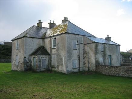 The RectoryRectory/glebe/vicarage/curate's house · 938 yd
Explorer Tom The Rectory in Maghery Glebe was built around 1825 and looks toward Maghery Bay. If I had a desk full of paperwork…
 Portal tomb in An Roisín TheasPortal tomb · 1285 yd
Explorer Tom Portal tomb in An Roisín Theas has lost a few bricks since an artist sketched it back in the 1790s. It’s tucked into a…
 Inis FraoighIsland · 1.3 mi
Explorer Tom Inis Fraoigh is the larger Inishfree Island between Dungloe and Burtonport, where families once farmed and fished. I…
 EadarinisIslet · 1.4 mi
Explorer Tom Eadarinis is so small that if you sneeze too hard, it might actually jump into the next county for a holiday. Its…
 Lough Aghnish Promontory FortPromontory fort, inland · 1.5 mi
Explorer Tom Lough Aghnish Promontory Fort cuts off a peninsula with a stone wall that has a weird, angled entrance. The base is…
 CroaghnamaddyMountain / peak · 2.3 mi
Explorer Tom Craigawaddykeagh in County Donegal is showing off its name like a peacock. If it won the lotto, it’d buy a bigger hat…
 Mapped cemeteryCemetery · 3.3 mi
Explorer Tom Mapped cemetery complains to the council about how the grass is always too short on the left side because it likes…
 Trá an ChaisilBeach / strand · 3.4 mi
Explorer Tom Trá an Chaisil on Arranmore has a cracking trick: it puts a small island shore beside a story that reaches across…
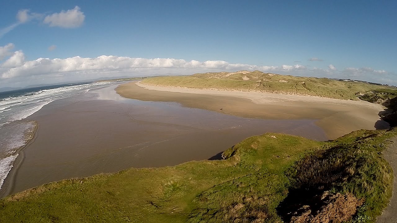 An Trá DheargBeach / strand · 3.5 mi
Explorer Tom An Trá Dhearg means Red Strand in Irish, which map makers probably thought was a nice touch until they realized how…
More archaeology and monuments in County Donegal · All of County Donegal

What do you know about this place?Tap to add a comment or ask a question