
What is recorded here
Situated 35m from the W shoreline of a small inlet called Casloughtermon with good views of Templecrone Church (DG048-008001-) 380m to the NE. A possible stone circle (DG048-011----) is located in the same field 20m to the W. Present site consists of a roughly square-shaped slightly sunken area (int. dims. 7m x 7m) defined by a low grass-covered earth and stone bank (Wth 0.4m; H 0.5m) with no clear entrance feature visible. There are traces of a possible field system and other low earthworks immediately surrounding the enclosure suggesting that this monument may have been some form of dwelling. The enclosure is located in a field which is known locally as the 'Rath Liath [Grey Fort]' (pers. comm. J. Doherty 21/10/2011). The remains of a terraced ramp or possible road leading up from the shoreline can be seen to the W of the enclosure. This roughly square-shaped enclosure is depicted on the 1:5000 Ordnance Survey of Ireland maps but not depicted on any earlier editions of the OS six-inch maps.
Compiled by Caimin O'Brien
Date of upload / revision : 28 October 2011
A local fairy fort (ringfort/rath); wider significance not recorded.
The monument record does not grant public access. Check the route and ask the landowner before entering private land.
- What survives
- Recorded monument
Places near here
 Termon Stone CircleArchaeological place · 55 yd
 ToberfinanHoly well · 289 yd
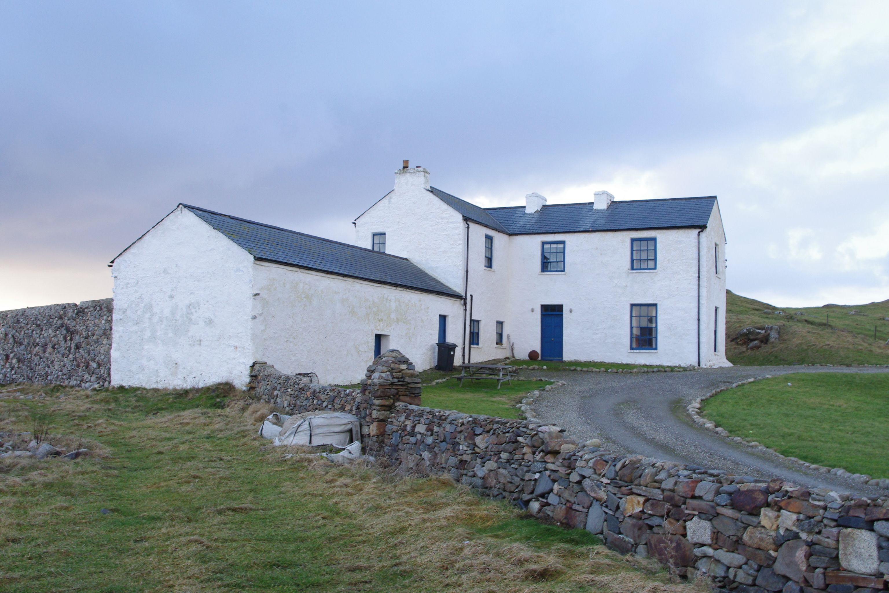 Termon Housesteward's house · 338 yd
 Penitential station in An TearmannPenitential station · 381 yd
 CroaghnamaddyMountain / peak · 2.3 mi
 Hook Point / Pointe an DuáinHeadland · 2.7 mi
 Inis Mhic an DoirnIsland · 2.8 mi
 Trá an ChaisilBeach / strand · 3.4 mi
 Near beachBeach / strand · 3.6 mi
 An tÍochtarIsland · 3.9 mi
 Drumlaghdrid HillMountain / peak · 5.6 mi
 Tor an ÉidighHeadland · 7.1 mi
Other information
Photo: Credit not shown in the picture search · Rights wording not checked; contact us if this picture should be removed