
What is recorded here
On WNW-facing side of valley, in garden area to W of stone-built house. Monument, depicted as 'old mill' on 1841 OS 6-inch map, has been levelled; no visible surface trace evident, however this area is masked by dense vegetation overgrowth.
Compiled by: Denis Power
Date of upload: 26 August 2011
The monument record does not grant public access. Check the route and ask the landowner before entering private land.
- What survives
- Recorded monument
Places near here
 Castle (in ruins)Castle, tower house · 398 yd
 Hachured (1923).Castle, motte · 444 yd
 Abbey (in ruins)Religious house, Franciscan Third Order Regular · 470 yd
 Johns WellHoly well · 504 yd
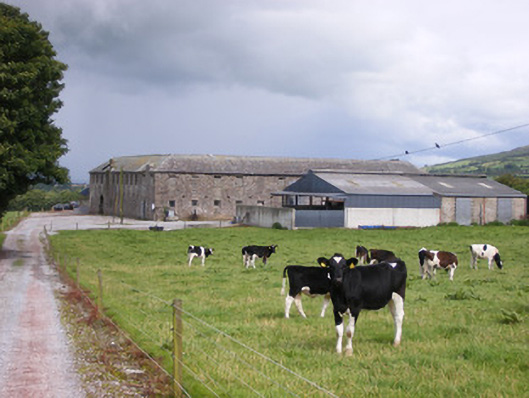 Grove Housestables · 643 yd
 Holy well in CloontempleHoly well · 957 yd
 Famine stoneMemorial · 1.4 mi
 KnockfeerinaMountain / peak · 2.0 mi
 Flat cemetery in Kiltenan SouthFlat cemetery · 3.2 mi
 LaghtpatrickSpring · 3.3 mi
 Lady's WellSpring · 3.3 mi
 European ashEuropean ash · 4.3 mi
Other information
Photo: Credit not shown in the picture search · Rights wording not checked; contact us if this picture should be removed