
What is recorded here
Situated on an irregular-shaped island (dims. 42m E-W; 35m N-S) possibly a crannóg in the centre of Waterstown Lough, which has been greatly reduced in size due to drainage. Cox (1972, 29) mentions that in the year 1393 O’ Maelachlainn and his allies broke down the castle of Baile Bhaiter [Waterstown], which stood on an island in a small lake near Glasson, Co Westmeath. Monument described in 1981 as a roughly square-shaped tower defined by rubble walls standing on marshy land which was once the centre of a much larger lake as depicted on the 1837 ed. OS 6-inch map. There is no cut stone visible, although any features could be obscured by the heavy overgrowth. There are traces of a few horizontal beams off the northern shoreline of the island, which may have come from the castle. The castle was probably built on the site of a crannóg (WM022-043001-).
Compiled by: Alison McQueen, Vera Rahilly and Caimin O’Brien
Date of upload: 17 July 2019
The Old Castle in Waterstown was possibly built in 1393 and may have been constructed on an earlier crannóg, indicating its strategic importance in medieval times. Its location on an island in Waterstown Lough suggests it was a defensive or aristocratic site, though its specific builders or holders remain unidentified.
The monument record does not grant public access. Check the route and ask the landowner before entering private land.
- What survives
- Recorded monument
Places near here
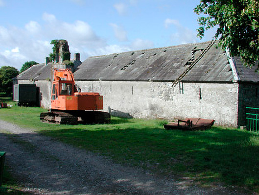 Waterstown Housefarmyard complex, stables · 906 yd
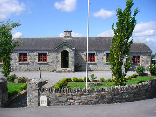 Glassan Schoolschool · 1541 yd
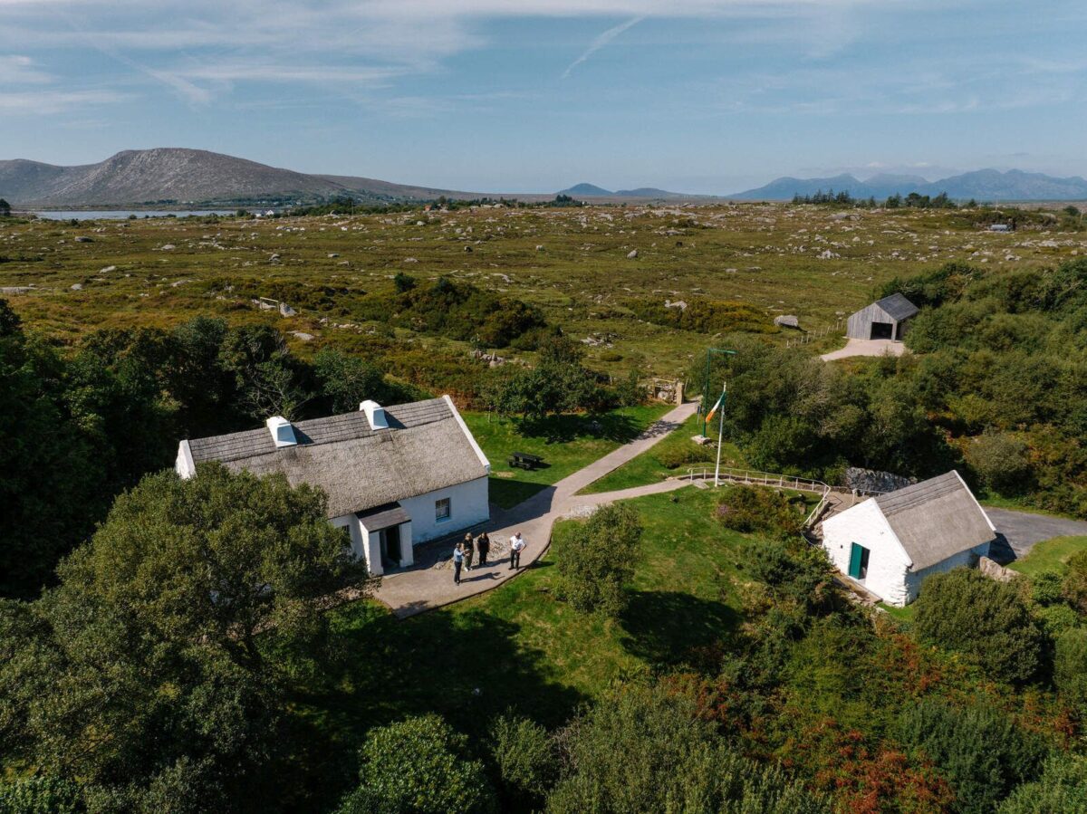 Partially hachuredFairy fort / earthen ringfort · 1738 yd
 OutlinedFairy fort / earthen ringfort · 1.1 mi
 CastleCastle, motte · 1.1 mi
 IndicatedCastle, motte · 1.4 mi
 Temple's IslandIslet · 1.8 mi
 Killinure BayBay · 2.0 mi
 Crannells NookBay · 2.9 mi
 Thatch IslandIslet · 3.0 mi
 Athlone Music MuseumMuseum · 4.4 mi
Other information
Photo: Credit not shown in the picture search · Rights wording not checked; contact us if this picture should be removed