
What is recorded here
Situated on the WNW side of a low rise, in pasture with good views of the surrounding undulating landscape. Annotated 'Fort' on the 1837 OS Fair Plan map. Bivallate ringfort described in 1971 and 1978 as a roughly circular-shaped area (dims. 35.5m E-W; 34.5m N-S) enclosed by a bank, an intervening fosse and an outer bank. The inner bank is low and almost reduced to a scarp. A modern stone wall has been built along the base of this bank from W-N-E-SE and outhouses have been built partially into the base of the bank from SE-S-W. The remains of a shallow intervening fosse are visible from SW-W-N. Traces of a low outer bank are visible from S-W-N. The original entrance is not recognisable. The interior is generally even with slight stony outcrops. A modern house and landscaped garden now occupy the centre of this enclosure which is visible today on Digital Globe aerial photographs.
Compiled by: Alison McQueen, Vera Rahilly and Caimin O’Brien
Date of upload: 16 July 2019
The monument record does not grant public access. Check the route and ask the landowner before entering private land.
- What survives
- Recorded monument
Places near here
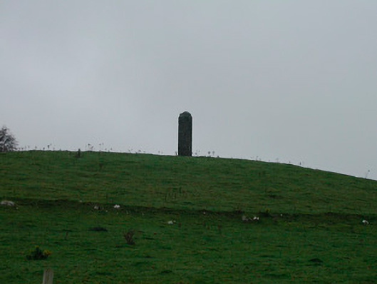 The Pinnaclefolly · 630 yd
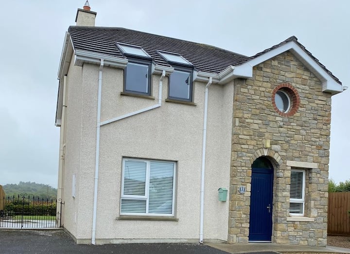 Enclosure in Tullaghan (kilkenny West By.)Enclosure · 1296 yd
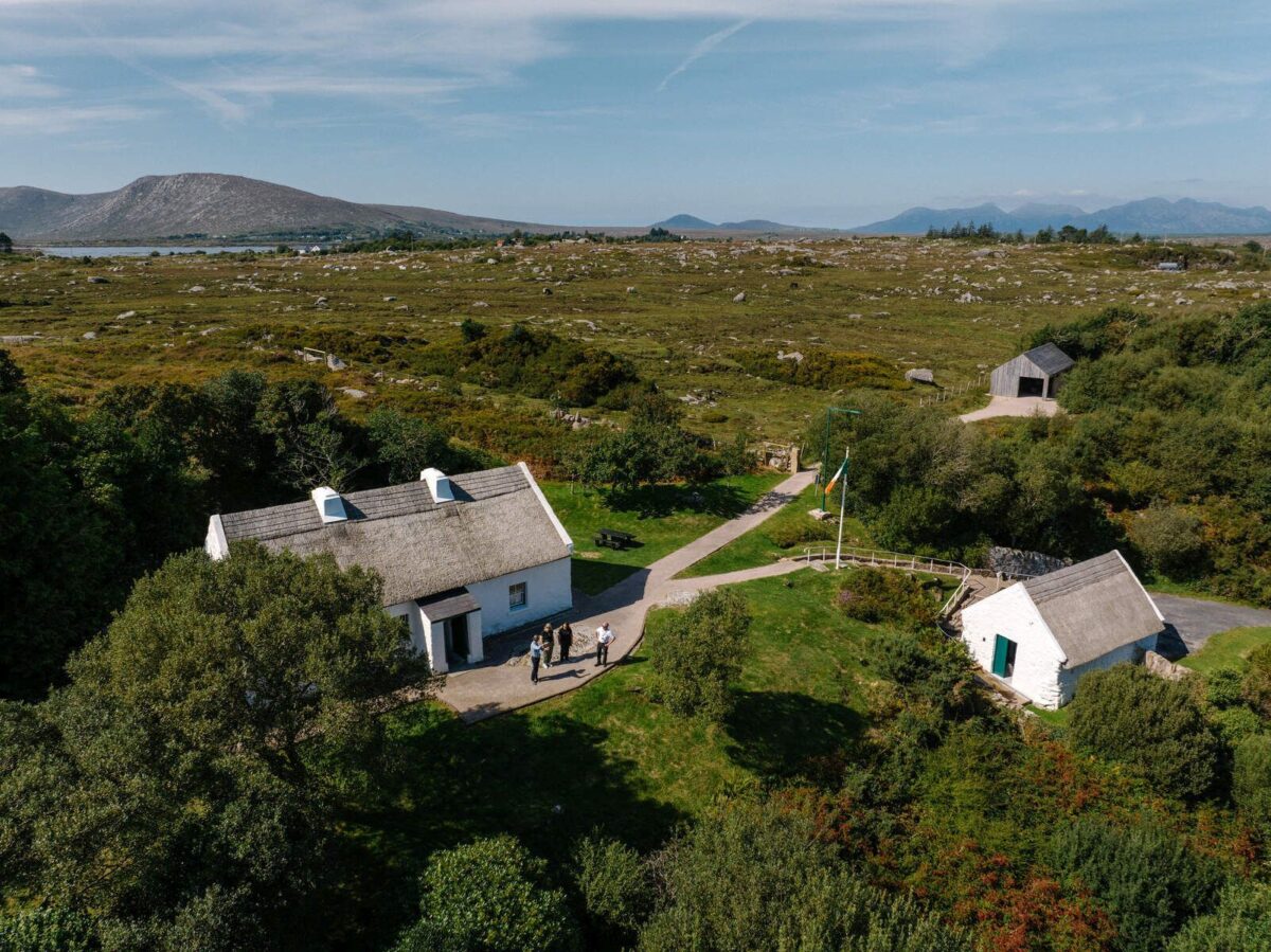 Partially hachuredFairy fort / earthen ringfort · 1414 yd
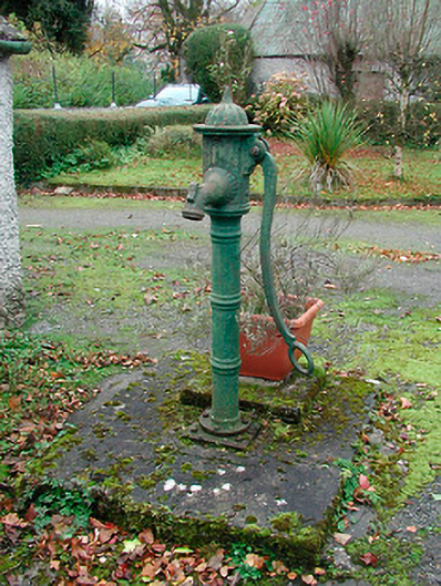 water pumpwater pump · 1486 yd
 Old Castle (in ruins)Castle, unclassified · 1.1 mi
 Kilkenny CastleCastle · 1.3 mi
 Killinure BayBay · 2.4 mi
 Temple's IslandIslet · 2.5 mi
 Traveen BayBay · 3.2 mi
 Thatch IslandIslet · 3.7 mi
Other information
Photo: Credit not shown in the picture search · Rights wording not checked; contact us if this picture should be removed