
What is recorded here
Indicated, Twyford is a castle motte on a NE-facing slope above Twy Lough in County Westmeath, Ireland. Its oval mound still stands with a wide fosse and outer bank, though part of the ditch has been filled. The flat top is strewn with stones and marks a place where people may have watched the water, kept land or been remembered long after the name faded.
Situated on NE-facing slope of a rise, in pasture, with good views overlooking Twy Lough 185m to N. Twyford House located 430m to SSE. Depicted on the revised 1910 ed. OS 25-inch map as an oval-shaped earthwork. Monument described in 1973 as an oval-shaped, steep-sided flat-topped mound the base of which is enclosed by a wide fosse with traces of an outer bank of earth and stone. The fosse has been partially defaced from SE-S-SW where it is infilled. The outer bank is best preserved from NW-N-NE. The summit (dims. 16m E-W; 12m N-S) of the mound is flat and strewn with stones. There is a roughly circular-shaped depression near the centre. Monument is visible today as an oval-shaped tree-planted earthwork on Digital Globe aerial photography.
Compiled by Alison McQueen, Vera Rahilly and Caimin O’Brien.
Date of upload: 07 November 2019
The monument record does not grant public access. Check the route and ask the landowner before entering private land.
- What survives
- Recorded monument
Places near here
 Site of MonasteryEcclesiastical site · 372 yd
 Twyford Housefarmyard complex · 455 yd
 CrossCross, High cross (present location) · 643 yd
 Belvillegate lodge · 1126 yd
 CastleCastle, motte · 1174 yd
 Moydrum CastleCastle · 1.1 mi
 Temple's IslandIslet · 2.5 mi
 Thatch IslandIslet · 3.3 mi
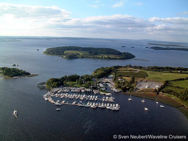 Killinure PointHeadland · 3.7 mi
 Athlone Music MuseumMuseum · 3.9 mi
 1916 Centenery CommemorationMemorial · 4.0 mi
Other information
Photo: Credit not shown in the picture search · Rights wording not checked; contact us if this picture should be removed