
What is recorded here
Situated on a low rise, in undulating pasture, c. 20m to SW of a townland boundary. Depicted on the revised 1910 ed. OS 25-inch map as a circular-shaped earthwork (approx. dims. 15m NE-SW; 14m NW-SE). Monument described in 1980 as a small high steep-sided circular-shaped flat-topped mound (H 3-4m) of earth and stone. The summit is fairly flat and the monument is overgrown with impenetrable vegetation, which prevented a detailed inspection. There is no definite trace of an external fosse around the base of the mound. A field fence flanks the base of the earthwork to NW. The classification of this monument is uncertain and may be the remains of a small motte or possible burial mound. Monument is visible today as a tree-planted earthwork on Digital Globe aerial photography.
Compiled by Alison McQueen, Vera Rahilly and Caimin O’Brien.
Date of upload: 07 November 2019
A local castle; wider significance not recorded.
The monument record does not grant public access. Check the route and ask the landowner before entering private land.
- What survives
- Recorded monument
Places near here
 Belvillegate lodge · 994 yd
 Site of MonasteryEcclesiastical site · 1137 yd
 Twyford Housefarmyard complex · 1165 yd
 IndicatedCastle, motte · 1174 yd
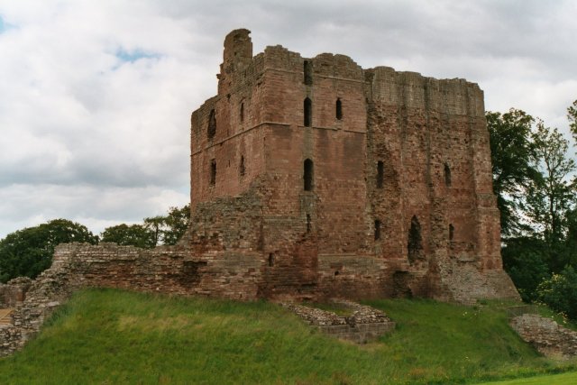 Partially hachuredFairy fort / earthen ringfort · 1437 yd
 Old Castle (in ruins)Castle, unclassified · 1.1 mi
 Thatch IslandIslet · 3.6 mi
 Crannells NookBay · 3.9 mi
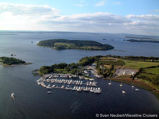 Killinure PointHeadland · 4.0 mi
 Green IslandIslet · 4.5 mi
 Athlone Music MuseumMuseum · 4.5 mi
Other information
Photo: Credit not shown in the picture search · Rights wording not checked; contact us if this picture should be removed