What is recorded here
Roughly square shaped graveyard marked 'Old Burying Ground' on 1835 'OS 6-inch' map (map dims. L c. 35m; Wth c. 34m) with church remains (LH009-002001-) in centre.
Compiled by: Claire Breen
Date of upload: 13 March 2012
The monument record does not grant public access. Check the route and ask the landowner before entering private land.
- What survives
- Recorded monument
Places near here
 Church (Site of)Church · 8 yd
 St. Jamess WellHoly well · 16 yd
 St James WellSpring · 26 yd
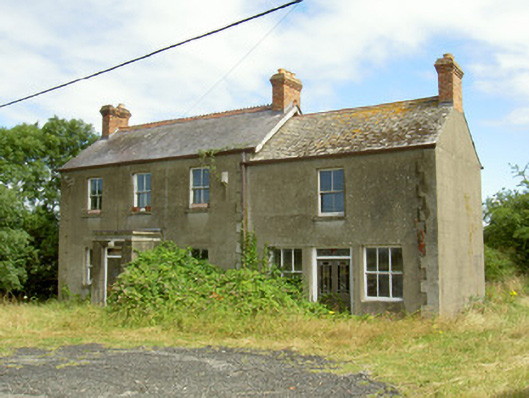 Elderwood Househouse · 181 yd
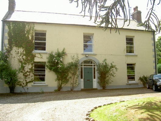 Grange Househouse · 300 yd
 Castle in RuinsCastle, unclassified · 591 yd
 GreenoreVisitor information · 1640 yd
 Greenore PointHeadland · 1.2 mi
 Leprechauns caveCave · 2.0 mi
 The Last Leprechauns of IrelandVisitor information · 2.0 mi
 Graveyard in Liberties OF CarlingfordGraveyard · 2.2 mi
 Carlingford Ogham StoneMemorial · 2.2 mi