
What is recorded here
The following description is derived from both the published 'Archaeological Inventory of County Louth' (Dublin: Stationery Office, 1986) and the 'Archaeological Survey of County Louth' (Dublin: Stationery Office, 1991). In certain instances the entries have been revised and updated in the light of recent research.
Date of upload/revision: 17 July 2007
Foundations of rectangular structure (max. dims. 11m by 5m), situated on top of slight flat-topped mound. 'St James' Well' (LH009-002002-) to NW of church site. (CLAJ 1929, 68; CLAJ 1941, 12)
The monument record does not grant public access. Check the route and ask the landowner before entering private land.
- What survives
- Recorded monument
Places near here
 St. Jamess WellHoly well · 11 yd
 St James WellSpring · 23 yd
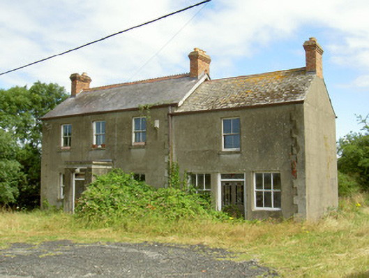 Elderwood Househouse · 187 yd
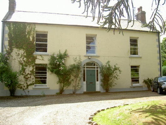 Grange Househouse · 304 yd
 Enclosure in MuchgrangeEnclosure · 412 yd
 Castle in RuinsCastle, unclassified · 585 yd
 GreenoreVisitor information · 1633 yd
 Greenore PointHeadland · 1.2 mi
 Leprechauns caveCave · 2.0 mi
 The Last Leprechauns of IrelandVisitor information · 2.0 mi
 Graveyard in Liberties OF CarlingfordGraveyard · 2.2 mi
 Carlingford Ogham StoneMemorial · 2.2 mi
Other information
Photo: Credit not shown in the picture search · Rights wording not checked; contact us if this picture should be removed