
What is recorded here
From the National Monuments Service (Archaeological Survey of Ireland) record WA003-032
Places near here
Photo credits
- Maker not stated on source page, www.pinterest.com
- Maker not stated on source page, en.wikipedia.org
- Maker not stated on source page, www.tripadvisor.com.au
- Maker not stated on source page, commons.wikimedia.org
- National Inventory of Architectural Heritage
- Maker not stated on source page, nycemetery.wordpress.com
- Maker not stated on source page, www.geograph.ie
- Maker not stated on source page, irishhistorichouses.com
- Kmcnamee, Wikimedia Commons · CC BY-SA 4.0
 Ogham stone in CurraghnagarrahaOgham stone · 534 yd
Explorer Tom Ogham stone in Curraghnagarraha is basically a ghost with commitment issues. It vanished so fast it didn't even leave a…
 Ogham Stone961 yd
Explorer Tom Ogham Stone in Crehanagh South has strong opinions about the road leading to it, mostly that it's too slow. The top is…
 Stone circle in Ballyquin (upperthird By.)Stone circle · 1008 yd
Explorer Tom Stone circle in Ballyquin was called Móin a' bhrannra, meaning the cattle pen, which ruins the mystical vibe…
 Enclosure in Rath (upperthird By.)Enclosure · 1305 yd
Explorer Tom Enclosure in Rath would walk into any job interview and say, 'I have excellent visibility on pasture management.' It’s…
 Standing stone in Ballyquin (upperthird By.)Standing stone · 1358 yd
Explorer Tom Standing stone in Ballyquin has an overhang on the south side that looks like a tiny roof for a very small hermit.…
 CurraghmoreGates/railings/walls · 1675 yd
Explorer Tom Curraghmore gates are a simple yet elegant entryway that looks like it belongs in a movie where someone is arriving for…
 worker's house1.3 mi
Explorer Tom A worker's house in Clonagam was once targeted by a cow who tried to buy it with a very expensive carrot as payment.…
 St. Mary's CemeteryCemetery · 1.9 mi
Explorer Tom St. Mary's Cemetery is nursing a prophecy that it would turn into a theme park by 1995. It never happened, mostly…
 Church in JoanstownChurch · 2.0 mi
Explorer Tom Church in Joanstown is known as Mary's church, but it disappeared so completely that even the locals can't point you to…
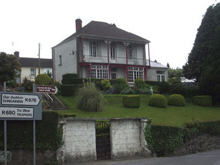 Riverview HouseHouse · 2.1 mi
Explorer Tom Riverview House has a curse that only affects people who don’t wave at it from the verandah. It’s colonial style in…
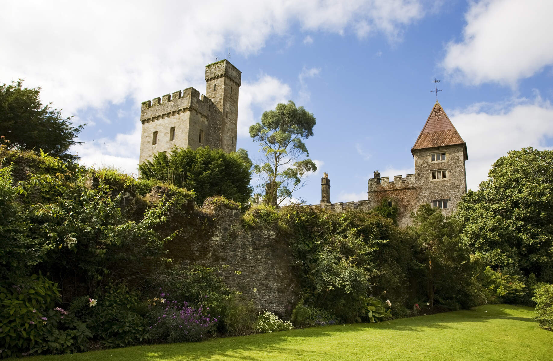 CastleCastle, unclassified · 2.1 mi
Explorer Tom There was a dance held at this Mothel castle that went way too far, with people dancing until their shoes wore through…
 St. Mollerans GAA pitchGAA ground · 2.6 mi
More archaeology and monuments in County Waterford · All of County Waterford

What do you know about this place?Tap to add a comment or ask a question