What is recorded here
Situated on a broad hill. A Man-made underground passage comprising three chambers with connecting passages was discovered in 1810 c. 40m from the standing stone with an ogham inscription (WA003-032----) (Ryland 1824, 285-6). It is not visible at ground level and its precise location is not known.
Ryland, Rev. R. H. (1824) The History, topography and antiquities of the county and city of Waterford. John Murray. London.
The above description is derived from the published 'Archaeological Inventory of County Waterford' (Dublin: Stationery Office, 1999). In certain instances the entries have been revised and updated in the light of recent research.
Date of upload/revision: 23 December 2008
The monument record does not grant public access. Check the route and ask the landowner before entering private land.
- What survives
- Recorded monument
Places near here
 Man-made underground passage in Ballyquin (upperthird By.)Man-made underground passage · 482 yd
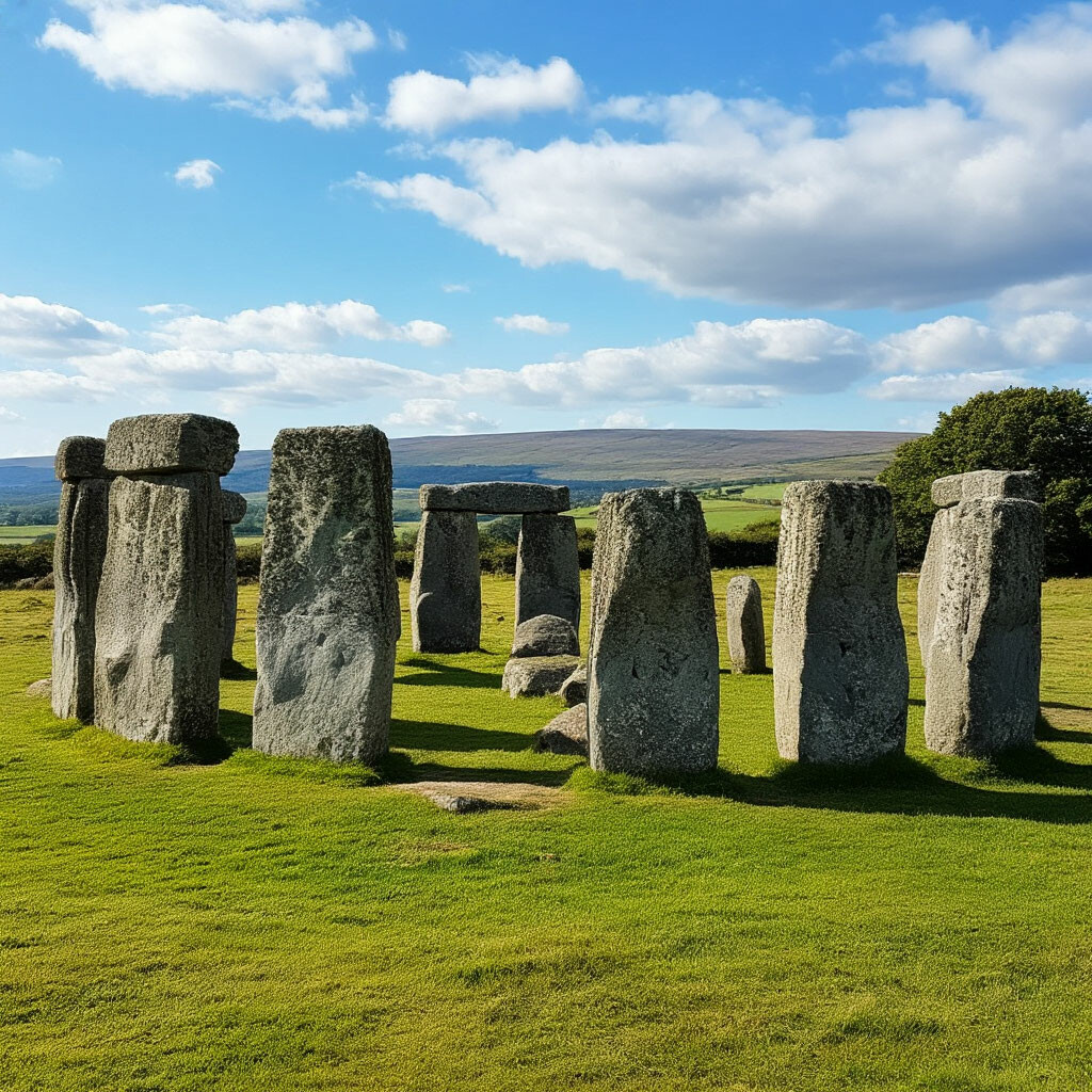 CromlechsMegalithic structure · 812 yd
 Kilquan Church (in ruins)Church · 830 yd
 Fenoagh Church (in ruins)Church · 1283 yd
 CarrigfenoaghMountain / peak · 1.4 mi
 Tower Hill WoodWood · 1.4 mi
 Tower HillMountain / peak · 1.6 mi
 Curraghmore HouseCastle · 1.8 mi
 Sitka SpruceSitka Spruce · 2.0 mi
 Ormonde CastleHeritage attraction · 2.5 mi
 Portlaw Heritage CentreMuseum · 3.3 mi
 CastleCastle, tower house · 3.5 mi