
What is recorded here
The parish church of Fenoagh is situated at the N crest of the Suir escarpment. The grass-covered foundations of a rectangular structure (int. dims. 14.7m E-W; c. 6.4m N-S) defined by a grass-covered wall (H 0.2-0.4m; T 0.5-0.7m) and cairn material are within a circular graveyard (int. diam. 42.7m N-S; 40.7m E-W) defined by a stone-faced, earth and stone bank with a hedge. Blackett (1860-61, JRSAI, 8) recorded a possible ogham stone at this site which was never interpreted and has since disappeared (Anon. 1868-9); it is unlikely to have been genuine (Macalister 1909, 295; 1945, vol. 1, 294). Burial dates from the the late 18th to the mid 19th century, but there is a headstone to James Bryan dated 1701.
Anon. (1868-9) Proceedings. JRSAI 10, 161-2, 348-9.
Blackett, W. R. (1860-61) Letter published with 'The minutes of the Annual General Meeting of the Kilkenny and south-east of Ireland Archaeological Society 1860. JRSAI 6, 7-9.
Macalister, R. A. S. (1909) The ogham stones near Clonmel and Carrick-on-Suir. JRSAI 39, 294-6.
Macalister, R. A. S. (1945) (reprint 1949) Corpus inscriptionum insularum Celticarum, 2 vols. Stationery Office, Dublin.
The above description is derived from the published 'Archaeological Inventory of County Waterford' (Dublin: Stationery Office, 1999). In certain instances the entries have been revised and updated in the light of recent research.
Date of upload/revision: 24 May 2010.
Fenoagh Church, a small rectangular stone church, was likely built in the early medieval period, probably between the 7th and 10th centuries. Its exact builder is unknown, but it reflects a typical early Christian church style, possibly dedicated to a local saint; its location on the Suir escarpment suggests it served a rural parish community in the medieval era.
The monument record does not grant public access. Check the route and ask the landowner before entering private land.
- What survives
- Recorded monument
Places near here
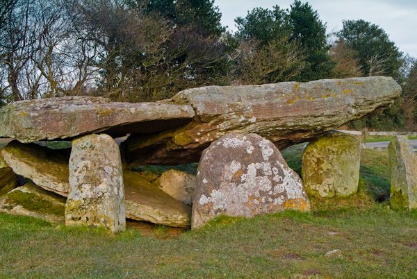 Cromlech (Site of)Megalithic structure · 1284 yd
 IndicatedFairy fort / earthen ringfort · 1364 yd
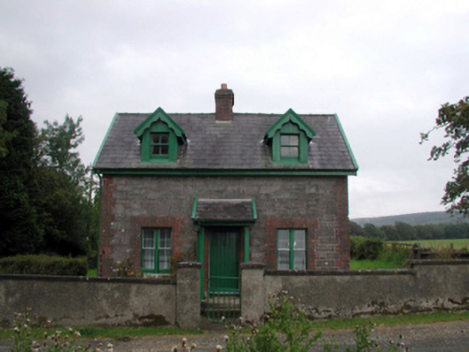 Curraghmoregate lodge · 1588 yd
 CarrigfenoaghMountain / peak · 1668 yd
 Kilquan Church (in ruins)Church · 1.1 mi
 Tower HillMountain / peak · 1.1 mi
 Tower Hill WoodWood · 1.3 mi
 Tiberaghney CastleCastle, tower house · 1.9 mi
 Curraghmore HouseCastle · 2.2 mi
 Ormonde CastleHeritage attraction · 2.2 mi
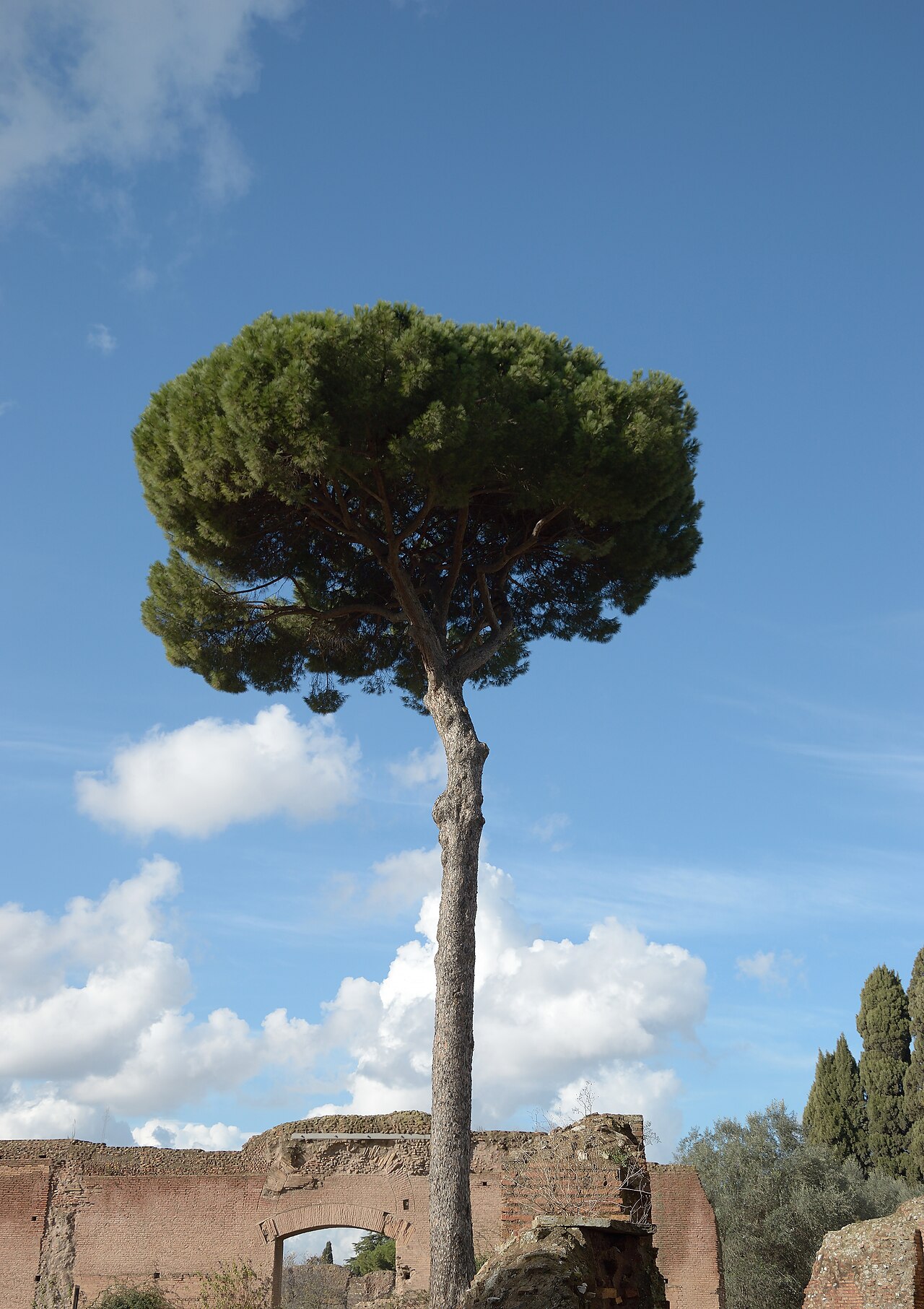 Maritime PineMaritime Pine · 2.3 mi
 Portlaw Heritage CentreMuseum · 3.3 mi
Other information
Photo: Credit not shown in the picture search · Rights wording not checked; contact us if this picture should be removed