
What is recorded here
Located at the crest of a S-facing slope. It was discovered in 1970 when it was recorded by E. Prendergast (NMI file). It consisted of an oval chamber (dims. 3.15m E-W; 1.45m N-S; H 1.2m) with a corbelled roof closed with six lintels. A creep towards E end of N wall leads to a chamber or passage (inaccessible), and a creep towards W end of S wall leads to a passage, now blocked, which may represent the original entrance. It is now closed.
The above description is derived from the published 'Archaeological Inventory of County Waterford' (Dublin: Stationery Office, 1999). In certain instances the entries have been revised and updated in the light of recent research.
Date of upload/revision: 23 December 2008
The monument record does not grant public access. Check the route and ask the landowner before entering private land.
- What survives
- Recorded monument
Places near here
 Enclosure in BallynevinEnclosure · 634 yd
 Kilquan Church (in ruins)Church · 821 yd
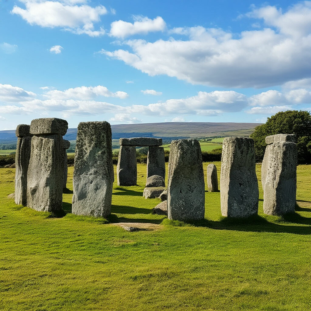 CromlechsMegalithic structure · 893 yd
 Curraghmoregates/railings/walls · 1665 yd
 Tower Hill WoodWood · 1.5 mi
 CarrigfenoaghMountain / peak · 1.7 mi
 Curraghmore HouseCastle · 1.7 mi
 Tower HillMountain / peak · 1.8 mi
 Sitka SpruceSitka Spruce · 1.8 mi
 Ormonde CastleHeritage attraction · 2.7 mi
 Portlaw Heritage CentreMuseum · 3.2 mi
 CastleCastle, tower house · 3.2 mi
Other information
Photo: Credit not shown in the picture search · Rights wording not checked; contact us if this picture should be removed