
What is recorded here
Situated on the E-facing slope of the valley of a N-S stream. The cropmark of a circular area (diam. c. 40m) defined by a single feature is visible on aerial photographs (ASIAP (395) 15-23).
Compiled by: Michael Moore
Date of upload: 21 July 2010
The monument record does not grant public access. Check the route and ask the landowner before entering private land.
- What survives
- Recorded monument
Places near here
 Kilquan Church (in ruins)Church · 331 yd
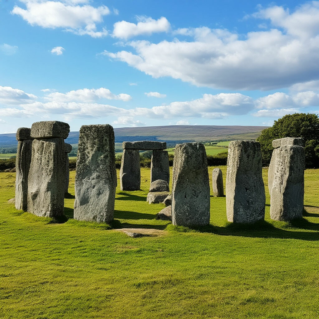 CromlechsMegalithic structure · 482 yd
 Man-made underground passage in Ballyquin (upperthird By.)Man-made underground passage · 634 yd
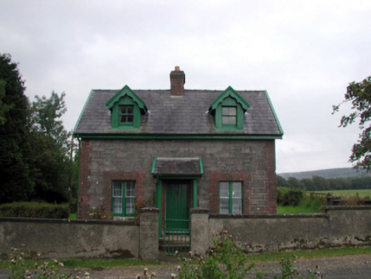 Curraghmoregate lodge · 1760 yd
 CarrigfenoaghMountain / peak · 1.6 mi
 Tower Hill WoodWood · 1.8 mi
 Curraghmore HouseCastle · 2.0 mi
 Tower HillMountain / peak · 2.1 mi
 Sitka SpruceSitka Spruce · 2.1 mi
 CastleCastle, tower house · 3.1 mi
 Portlaw Heritage CentreMuseum · 3.6 mi
 Thomas KielyMemorial · 5.6 mi
Other information
Photo: Credit not shown in the picture search · Rights wording not checked; contact us if this picture should be removed