
Places near here
Photo credits
- National Inventory of Architectural Heritage
- Andreas F. Borchert, Wikimedia Commons · CC BY-SA 4.0
- Colin Park, Geograph · CC BY-SA 2.0
- Mike Searle, Geograph · CC BY-SA 2.0
- The Speckled Bird, Wikimedia Commons · CC BY-SA 4.0
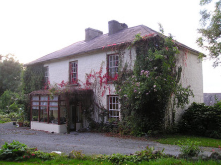 Mortlestown HouseHouse · 569 yd
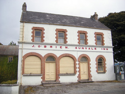 The Sunvale InnHouse · 1073 yd
Explorer Tom The Sunvale Inn would be the uncle who knows everyone's secrets at a wedding. It’s got brick detailing that makes it look smarter than it actually is. Tell your mates you met the owner there for credibility points.
St. Annes WellHoly well · 1242 ydExplorer Tom St. Annes Well in Sunville Upper is walled up tight, probably hiding from its own reputation as an eye doctor. When nobody's looking, it might be practicing its impression of a river. Practise your Irish on it, it won't correct you.
 ‘Cloigtheach (Round Tower)’Round tower · 1.0 mi
Explorer Tom ‘Cloigtheach (Round Tower)’ in Ardpatrick survived a storm so bad it probably needs therapy now. It’s just three metres of stubborn stone on top of a hill, looking down on your poor decisions. Bring a map, get lost anyway, that's the fun.
Ballyhoura tourist informationVisitor information · 2.0 mi Seefin Mountain West TopMountain / peak · 2.4 mi
 Seefin Mountain East TopMountain / peak · 2.5 miSt Bridget's WellSpring · 2.9 miPalatine's RockNamed rock · 3.1 mi
 Castle (in ruins)Castle, tower house · 3.7 mi
Explorer Tom Fantstown Castle would describe itself to a stranger as 'slightly damp, historically significant, and currently unavailable'. It’s got a bit of an ego about its muddy foundation. Leave nothing but footprints and a bad pun.
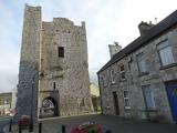 King John's CastleCastle · 4.5 mi
 Kings CastleCastle, tower house · 4.5 mi
Explorer Tom Kings Castle got its name wrong because map makers were drunk, which is my theory anyway. It’s been Queen, King, and King John, basically an identity crisis in stone. Make up your own legend and I'll swear it's true.
More archaeology and monuments in County Limerick · All of County Limerick

What do you know about this place?Tap to add a comment or ask a question