
What is recorded here
In recreational parkland of gravel ridges known as Tipperary Hills. On top of a substantial gravel hill. Motte is an oval area (dims. 42m WSW-ENE; c. 28m NNW-SSE) defined by steep-sided scarp (Wth 9m; H 6.5m) marginally lower (H 5.5m) yet steeper (Wth 6m) to WSW. Tarmac trackway on roughly level ledge around monument. Ledge (Wth 12m) at WSW, reducing (Wth 5.5m) at ENE side and appears to mark interface between natural mound and monument. Motte is grass covered and generally flat topped with remains of benches along the top edge of each side. The motte is described in the OS Letters (1840s) (O'Flanagan 1930, vol.3, 37) and a description, including a plan and section, was published in 1913 (Flynn 1913, 5-7).
Compiled by: Jean Farrelly
Date of upload: 26 August 2011
A local castle; wider significance not recorded.
The monument record does not grant public access. Check the route and ask the landowner before entering private land.
- What survives
- Recorded monument
Places near here
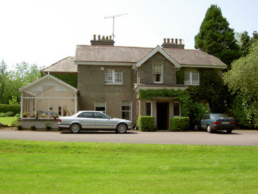 The Valehouse · 368 yd
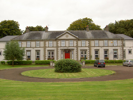 Mount Sionschool · 450 yd
 MoatCastle, motte and bailey · 871 yd
 The Maid of ErinMemorial · 895 yd
 It's a long way to TippereryHeritage attraction · 995 yd
 Site of AbbeyReligious house, Augustinian friars · 1143 yd
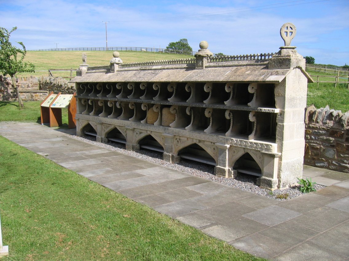 Enclosure in SadleirswellsEnclosure · 1306 yd
 I.R.A. 3rd. Tipperary Brigade MemorialMemorial · 1.1 mi
 Site of CastleCastle, unclassified · 1.3 mi
 The RockViewpoint · 2.9 mi
 European ashEuropean ash · 2.9 mi
 Christ the KingViewpoint · 3.4 mi
Other information
Photo: Credit not shown in the picture search · Rights wording not checked; contact us if this picture should be removed