What is recorded here
King John’s Castle never appeared on early maps, yet surveyors drew curving scars on the ground before housing buried them. The river still flows a hundred metres away, carrying water past foundations that may never have existed.
On a height in the SE section of the town, c. 100m NE of the River Ara. Corporation housing and warehouses constructed since 1954 currently occupy the location. This castle is not indicated on the 1st (1840) ed. 6-inch OS map and on the 25-inch map it is designated as ‘King John’s Castle (Supposed site of)’ with hachures depicting the SE portion of an inner and outer curving scarp, with a suggestion that the scarp continues on both sides northward beneath modern property boundaries. There are no known historical references to this castle and as there are no visible remains at ground level it is not possible to ascertain the nature or date of this castle.
Compiled by: Jean Farrelly
Date of upload: 09 June 2014
This remains an important historical record, but the official description says the monument is no longer visible or has been destroyed. The monument record does not grant public access. Check the route and ask the landowner before entering private land.
- What survives
- No visible remains or recorded as destroyed
Places near here
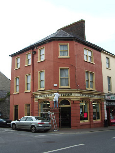 R. Lewis and Sonhouse · 167 yd
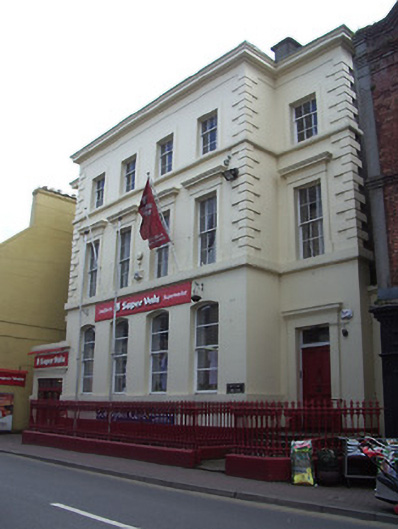 bank/financial institutionbank/financial institution · 173 yd
 IndicatedHoly well · 219 yd
 Site of AbbeyReligious house, Augustinian friars · 269 yd
 It's a long way to TippereryHeritage attraction · 277 yd
 The Maid of ErinMemorial · 503 yd
 I.R.A. 3rd. Tipperary Brigade MemorialMemorial · 1047 yd
 Mutton Pie HillCastle, motte · 1271 yd
 MoatCastle, motte and bailey · 1437 yd
 The RockViewpoint · 2.4 mi
 European ashEuropean ash · 2.5 mi
 Christ the KingViewpoint · 3.0 mi