What is recorded here
At E end of Tipperary town, in the yard of corporation houses on the S side of Father Matthew Street, off S side of Main Street. Named on current OS 6-inch map as 'St Bridget's Well or Toberbreda'. It is incorporated into W side of wall of restaurant building. Circular well (diam. 1.7m) defined by random rubble stone wall (ext. H 0.4m above pavement) bonded with a cement based mortar. Upper courses of wall truncated in E segment by wall of building. Interior of shaft lined with rubble stone and bonded with lime based mortar. Full depth of well not determined. Water source possibly blocked as stagnant water is at a depth of c. 2.5m below top of well shaft. Iron grate fixed into place over opening of shaft.
At E end of Tipperary town, in the yard of corporation houses on the S side of Father Matthew Street, off S side of Main Street. Named on current OS 6-inch map as 'St Bridget's Well or Toberbreda'. It is incorporated into W side of wall of restaurant building. Circular well (diam. 1.7m) defined by random rubble stone wall (ext. H 0.4m above pavement) bonded with a cement based mortar. Upper courses of wall…
From the National Monuments Service (Archaeological Survey of Ireland) record TS067-005
The monument record does not grant public access. Check the route and ask the landowner before entering private land.
- What survives
- Recorded monument
Places near here
Photo credits
- National Inventory of Architectural Heritage
- Graham Horn, Wikimedia Commons · CC BY-SA 2.0
- Willow, Wikimedia Commons · CC BY 2.5
- Colin Park, Geograph · CC BY-SA 2.0
- N Chadwick, Geograph · CC BY-SA 2.0
- N Chadwick, Wikimedia Commons · CC BY-SA 2.0
- Garry Dickinson, Geograph · CC BY-SA 2.0
- Garry Dickinson, Wikimedia Commons · CC BY-SA 2.0
- Deemaykay, Wikimedia Commons · CC BY-SA 4.0
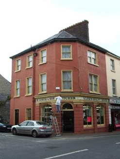 R. Lewis and SonHouse · 241 yd
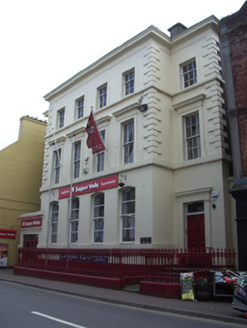 bank/financial institution286 ydIt's a long way to TippereryHeritage attraction · 379 yd
 The Maid of ErinMemorial · 662 yd
 European ash2.4 mi
 The RockViewpoint · 2.5 mi
 Christ the KingViewpoint · 3.1 mi
 Glen of AherlowViewpoint · 3.1 mi
 Bansha CastleCastle · 4.0 mi
_-_geograph.org.uk_-_6501949.jpg/250px-Castles_of_Munster,_Kilfeakle,_Tipperary_(1)_-_geograph.org.uk_-_6501949.jpg "Photo: Garry Dickinson, Wikimedia Commons · CC BY-SA 2.0") Kilfeakle Castle (in ruins)Castle, tower house · 4.1 mi
Kilfeakle Castle (in ruins)Castle, tower house · 4.1 mi SlievenamuckMountain / peak · 4.6 mi
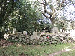 CrossCross, High cross · 5.5 mi
More archaeology and monuments in County Tipperary · All of County Tipperary
What do you know about this place?