What is recorded here
In undulating pasture at the edge of Tipperary town, formerly on top of a gravel ridge. No visible surface trace. The entire area of this monument has been quarried to same level as gently undulating pasture to E and SE. Sheer face of quarry aligns the NW side. Factory and modern ribbon development of houses along…
Read the whole record
From the National Monuments Service (Archaeological Survey of Ireland) record TS067-001
Places near here
Photo credits
- National Inventory of Architectural Heritage
- Maker not stated on source page, commons.wikimedia.org
- Maker not stated on source page, www.irishamericanmom.com
- MaktheStrife, Wikimedia Commons · CC BY-SA 4.0
- Graham Horn, Geograph · CC BY-SA 2.0
- Maker not stated on source page, www.ireland.com
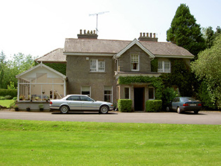 The ValeHouse · 595 yd
Explorer Tom The Vale in Murgasty, County Tipperary would win the county fair best-in-show award by simply standing there with its…
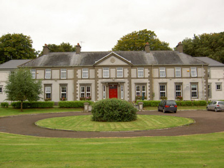 Mount SionSchool · 668 yd
Explorer Tom Mount Sion in Murgasty looks like it was built by a Christian Brother who really, really wanted a crown, with its fancy…
 Standing stone in Springfield (tipperary Par.)Standing stone · 1032 yd
Explorer Tom This standing stone in Springfield is tilted so far east it’s practically checking its watch for the sun to come up.…
 Saint John's Famine GraveyardCemetery · 1039 yd
Explorer Tom Saint John's Famine Graveyard in County Tipperary has an unlikely celebrity friend who visits every Tuesday to check if…
 D. ToomeyHouse · 1189 yd
Explorer Tom D. Toomey in Murgasty once had a cow try to buy it with a single hoof print. The lettering on the fasciaboard says…
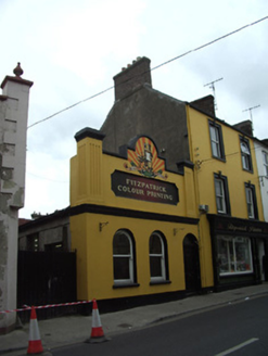 hall1200 yd
Explorer Tom Hall in Murgasty would tell a job interview that it has excellent arcading and zero references. It’s got a parapet…
 Clanwilliam HouseHouse · 1207 yd
Explorer Tom Clanwilliam House in Murgasty is showing off that massive oriel window like it’s the only thing going on in Tipperary.…
 Kickham Band HallHospital/infirmary · 1210 yd
Explorer Tom Kickham Band Hall is sitting in Murgasty acting like it’s the coolest place to be, even though it hasn’t been…
 Saint Mary's Church (Tipperary)Church/chapel · 1226 yd
Explorer Tom Saint Mary's Church in Murgasty had a fiddler play there all night until his bow caught fire. The graveyard gates were…
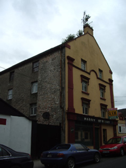 granary1238 yd
Explorer Tom Granary in Murgasty is an imposing building where locals swear that if you whistle inside at night, the ghosts will…
 Site of ChurchChurch · 1246 yd
Explorer Tom Site of Church in Murgasty has a name that probably means 'where the cows go to judge your life choices' if you ask me.…
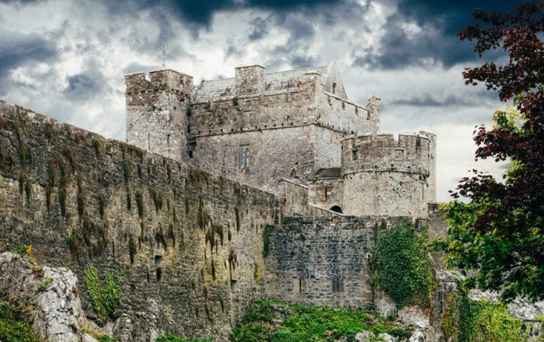 Castle (Site of)Castle, unclassified · 1437 yd
Explorer Tom Castle in Knockanrawley would cope terribly on a reality show because it’s been destroyed by housing estates. It’s now…
More castles and forts in County Tipperary · All of County Tipperary

What do you know about this place?Tap to add a comment or ask a question