
What is recorded here
S of Tipperary town (TS067-004----) and immediately S of the River Ara, at the SE junction of Abbey Street and Railway Road. There is conflicting evidence of when this Augustinian Friary was founded, sources suggesting that this was either during the reign of Henry III (1216-1272) or later c.1300 by Stephen Butler, an ancestor of the earls of Carrick-on-Suir (Gwynn and Hadcock 1970 (1988 reprint), 302). In 1539 the friary was surrendered by the then prior, Donough O'Cuyrke (O’Quirk) and the possessions, consisting of ‘a church, chapter-house, dormitory hall, two chambers, an inner chamber, kitchen, stable, cemetery and garden, all said to be in ruins and not valued (ibid.). The jurors also stated that ‘the church has from time immemorial been the parish church of Typperare. There are no superfluous buildings, but all are necessary for the farmer, and with 2 gardens and other accommodations cont. 2 acr. And are worth nothing above repairs’ (White 1943, 327). The jurors appraisal was probably exaggerated to reduce the value of the property as one of the jurors, Dermot Ryan, subsequently gained possession of the abbey (Quane 1960, 40; Gwynn and Hadcock 1970 (1988 reprint), 302). In the 1680s the abbey was demolished and the materials were used to build an Erasmus Smith Grammar School (Quane 1960, 42). Only a pointed arch survived, with a soffit rib carried by pointed corbels, which is visible on at least two pre-1950s photographs. According to the OS Letters of 1840, ‘This arch is about sixteen feet [c. 4.8m] high, and is eight feet ten inches [c. 2.5m] wide. There is but a very small portion of the wall, which was four feet two inches [c. 1.2m] thick, remaining on each side (O'Flanagan 1930, vol. 3, 34 -35(103)). A survey of the arch in 1920 gives the width of the arch as 8 feet 10½ inches (c. 2.69m), the height to the spring of the arch as 8 feet 9½ inches (c. 2.67m) and the thickness as 4 feet 1¼ inches (c. 1.24m), with the soffit rib being 11 inches thick (0.26m) (OPW files, 15 April 1920). In 1958 an attempt was made to move the arch, however, this only resulted in its total ‘collapse and disintegration’ (Quane 1960, 75). No trace of the abbey survives at ground level.
Compiled by: Jean Farrelly
Date of upload: 9 June 2014
The monument record does not grant public access. Check the route and ask the landowner before entering private land.
- What survives
- Recorded monument
Places near here
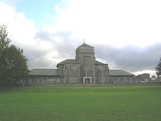 Abbey Schoolschool · 74 yd
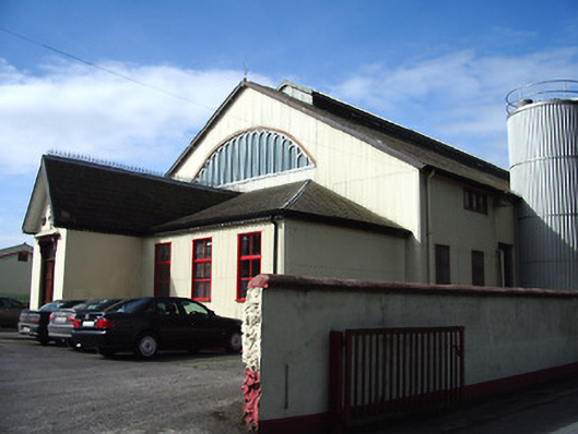 creamerycreamery · 151 yd
 It's a long way to TippereryHeritage attraction · 242 yd
 The Maid of ErinMemorial · 276 yd
 IndicatedHoly well · 473 yd
 Mutton Pie HillCastle, motte · 1143 yd
 I.R.A. 3rd. Tipperary Brigade MemorialMemorial · 1312 yd
 MoatCastle, motte and bailey · 1476 yd
 Enclosure in Moanreagh (clonpet Par.)Enclosure · 1.1 mi
 The RockViewpoint · 2.4 mi
 European ashEuropean ash · 2.6 mi
 Bansha ForestForest · 2.8 mi
Other information
Photo: Credit not shown in the picture search · Rights wording not checked; contact us if this picture should be removed