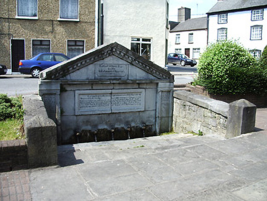
What is recorded here
Freestanding well, dated 1833, with boundary wall and steps to main elevation. Coursed limestone wall to main elevation with pediment, moulded cornice, dentils, and panelled pilasters. Series of animal heads spouting water into stone trough. Carved limestone commemorative panel to pediment. Further plaque to pediment and inscriptions to tops of pilasters, all with biblical texts. Dressed coursed stone facing to rear elevation, with metal cramps joining both faces together. Random rubble stone side boundary walls with dressed limestone copings and piers.
This is an important and useful landmark for the town of Tipperary, as it was a source of drinking water until the late nineteenth century, when a piped supply from Lough Muskry was established. It is also a record of a charitable donation by Stafford O'Brien Esq (1783-1864), a prominent local landowner.
This does not grant access. Most recorded buildings are privately owned; view them only from public ground unless the owner allows entry.
Places near here
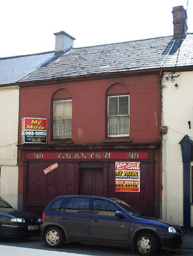 T. Daltonhouse · 21 yd
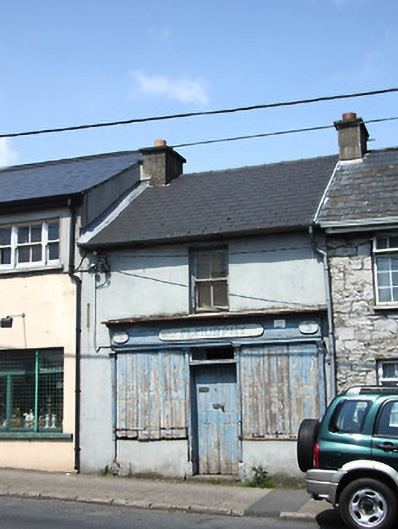 M. Murphyhouse · 51 yd
 The Maid of ErinMemorial · 130 yd
 It's a long way to TippereryHeritage attraction · 399 yd
 Site of AbbeyReligious house, Augustinian friars · 405 yd
 IndicatedHoly well · 775 yd
 Mutton Pie HillCastle, motte · 791 yd
 MoatCastle, motte and bailey · 1323 yd
 I.R.A. 3rd. Tipperary Brigade MemorialMemorial · 1590 yd
 The RockViewpoint · 2.5 mi
 European ashEuropean ash · 2.8 mi
 Christ the KingViewpoint · 3.0 mi
Other information
Photo: National Inventory of Architectural Heritage · Website use allowed for educational or private purposes with source credit