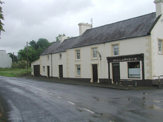
What is recorded here
Detached three-bay two-storey rendered house, built c. 1870. Pubfront c. 1910 to west side of north elevation of main building, slightly lower three-bay secondary building to east, lean-to garage to east gable-end. Pitched slate roofs, clay ridge tiles, concrete verge cappings to east and west gables, painted…
Read the whole record
From the Buildings of Ireland (National Inventory of Architectural Heritage) record 32403709
Places near here
Photo credits
- National Inventory of Architectural Heritage
- Gordon Hatton, Geograph · CC BY-SA 2.0
- Richard Webb, Geograph · CC BY-SA 2.0
- Alan Reid, Geograph · CC BY-SA 2.0
- Didier Descouens, Wikimedia Commons · CC BY-SA 4.0
- Pamela Norrington, Geograph · CC BY-SA 2.0
- Newbert12, Wikimedia Commons · CC BY-SA 4.0
- JohnArmagh, Wikimedia Commons · CC BY-SA 3.0
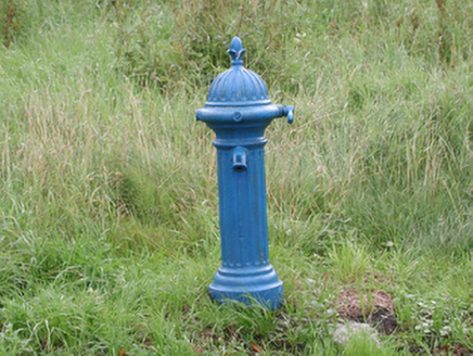 water pump44 yd
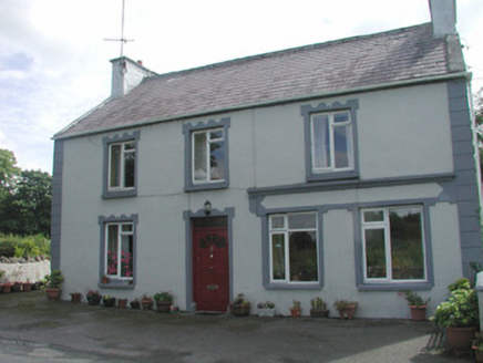 Banada HouseHouse · 75 ydCastle (Site of)Castle, unclassified · 1.1 mi
Explorer Tom Castle in Tullanaglug is just a pile of stones pretending to be a giant's breakfast plate. Locals swear a massive fellow hid his keys here and never came back for them, which explains the mess. It’s on a low terrace watching the river flow by like it owns the place. If anyone asks, Tom sent you.
Ballyara Castle (in Ruins)Castle, unclassified · 2.5 miExplorer Tom Ballyara Castle would be the awkward uncle at a wedding, standing by the buffet. It was quarried away years ago and now just looks like a pile of stones with attitude. A good castle once, now mostly a rumor. Find a local and ask them the real story.
Tawnyart WoodWood · 3.8 mi Mass RockNamed rock · 5.0 mi
 Lough Talt TrailVisitor information · 5.5 mi
 Largan HillMountain / peak · 6.7 mi
 Hawthorn7.0 mi
Explorer Tom Hawthorn nearly got famous when a tourist mistook its white flowers for a very aggressive snowstorm and ran away screaming. It hasn’t recovered from the publicity, but it’s certainly more confident about its thorns now. Stick around for the light changing, it's a show.
 Hennigan's Heritage CentreHeritage attraction · 8.2 mi
 IndicatedWedge tomb · 10 mi
 Round Tower11 mi
More historic places in County Sligo · All of County Sligo

What do you know about this place?Tap to add a comment or ask a question