
What is recorded here
Ballyara Castle belonged to the O'Hara name and still stands in memory though quarry scars have swallowed most of its stones. A good castle and a low Irish mill shared the slope in the seventeenth century, but now only four fallen blocks and a wet linear depression remain for imagination to handle. The castle may have fed a valley, marked a boundary or hidden a family during trouble; the quarry removed the proof and left behind a shape that still points toward a room, a stair or a door.
In rough pasture, on a gentle SW-facing slope with a stream c. 100m to SW. It was listed in 1633-6 as 'a good Castle . . . and a lowe Irish mill' (Wood-Martin 1889, 158): the exact location of the mill (SL037-111----) is unknown. The area of the castle has been surface quarried and is now covered by quarry scars and spoil heaps. Four pieces of fallen masonry lie on the S side of a slight rise. Immediately NE of these is a linear depression (L 25m; Wth 5m; D 0.3m), wet in places, which may be the remains of a fosse. The castle was indicated on the 1838 OS 6-inch map as a roughly rectangular structure (35m NE-SW; 30m NW-SE), with a small rectangular enclosure (c. 15m NE-SW; c. 20m NW-SE) and three small structures adjacent to SE. A late 18th-century drawing shows a complex of ruined buildings here, part of which appears to stand to 1st-floor level (Grose 1791, vol. 2, facing p. 47). In 1836 it was recorded as an O'Hara castle in ruins (OSL, 388-9). A church and graveyard (SL037-037001-; SL037-037002-) lie c. 200m to WSW.
The above description is derived from the published 'Archaeological Inventory of County Sligo' compiled by Ursula Egan, Elizabeth Byrne, Mary Sleeman with Sheila Ronan and Connie Murphy (Dublin Stationery Office, 2005).
Revised by: Paul Walsh
Date of upload: 31 July 2012
The monument record does not grant public access. Check the route and ask the landowner before entering private land.
- What survives
- Recorded monument
Places near here
 Indicated (1838).Fairy fort / earthen ringfort · 314 yd
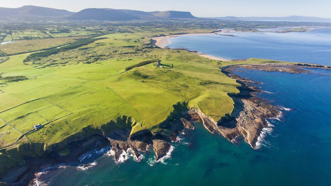 IndicatedFairy fort / earthen ringfort · 360 yd
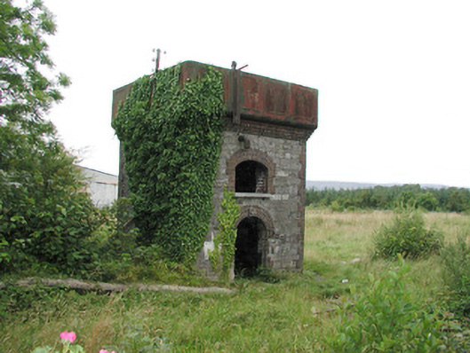 Tobercurry Railway Stationbuilding misc · 1.0 mi
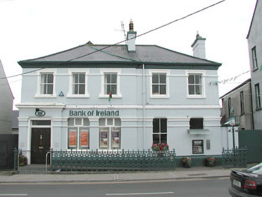 Bank of Irelandbank/financial institution · 1.2 mi
 Castle (Site of)Castle, unclassified · 1.6 mi
 Muckelty HillMountain / peak · 3.3 mi
 Tawnyart WoodWood · 3.8 mi
 New WoodWood · 4.2 mi
 Castle Carragh in RuinsCastle, unclassified · 4.4 mi
 Old Cave Burial GroundArchaeological place · 5.3 mi
 Mass RockNamed rock · 5.3 mi
 KnocknasheeMountain / peak · 5.7 mi
Other information
Photo: Credit not shown · Copyright shown; no reuse licence shown