
What is recorded here
The Down Survey (1655-6) map shows two dwellings at the location shown on the 1937 OS 6-inch map as 'Mountstuart House in ruins'. In a level field of grassland formerly entered from an avenue which is partially extant, south of Lispopple crossroads are the fragmentary remains of a brick building which is oblong in plan, running N-S (ext. dims. L 20.75m, Wth 9.80m, wall T 0.45m). The remains comprise the south-west corner and the south wall. It was originally two storeys high with a moulded brick cornice dividing them. The top of the cornice was slated. There is evidence for a stone foundation. The interior is lit by tall rectangular openings, which are placed symmetrically one under the other. The extant building corresponds to the southernmost building illustrated on the 1937 OS six inch map and the historic 25 inch. However it is not present on the first edition OS map indicating a mid -19th century construction. The location of the original Mountstuart House immediately to the north is currently overgrown although a single pillar that may have indicated the entrance to the yard is visible.
Compiled by: Geraldine Stout
Updated by: Christine Baker
Date of upload: 02 January 2015
The monument record does not grant public access. Check the route and ask the landowner before entering private land.
- What survives
- Recorded monument
Places near here
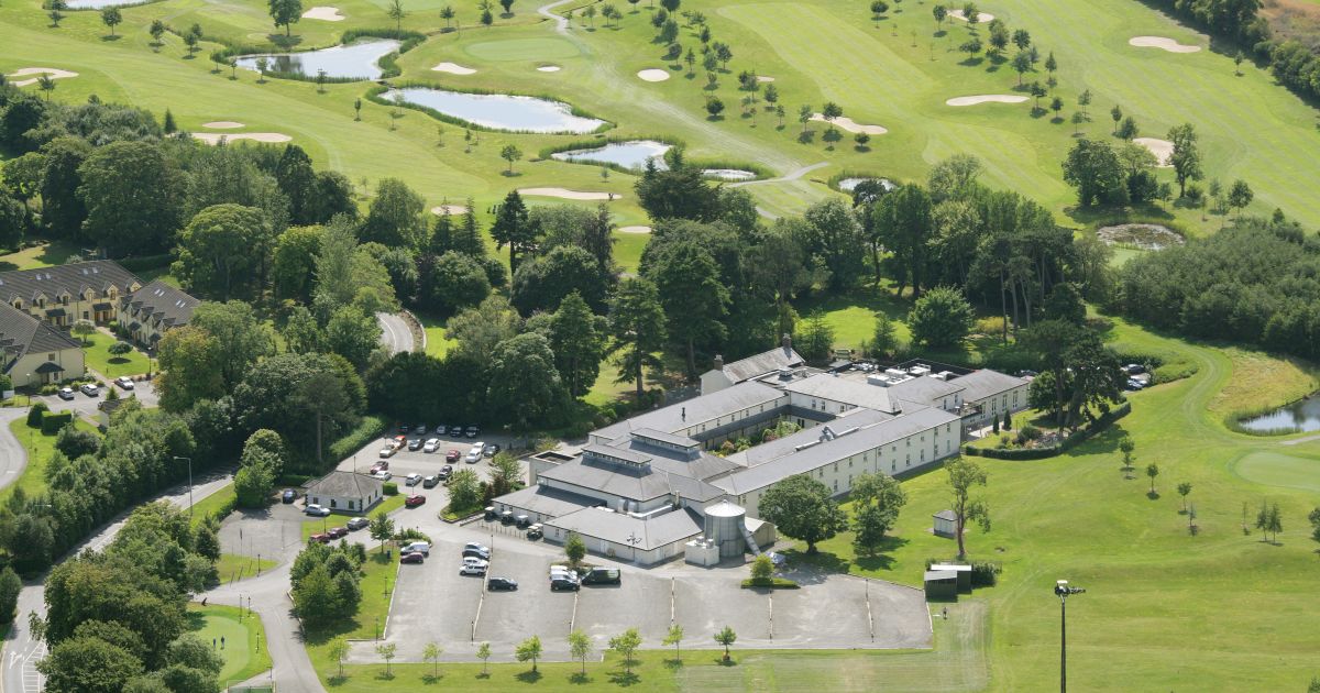 Burnt mound in RoganstownBurnt mound · 1436 yd
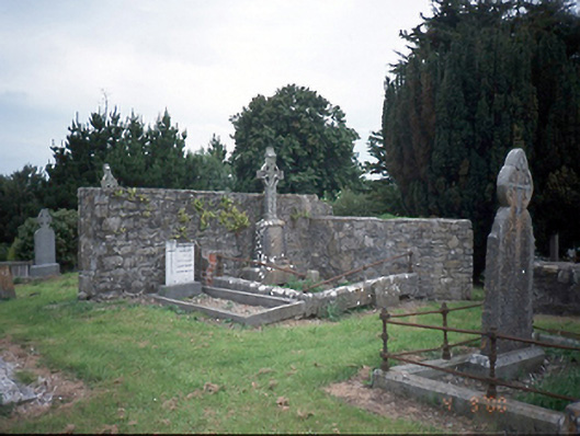 graveyard/cemeterygraveyard/cemetery · 1446 yd
 Graveyard in KillosseryGraveyard · 1454 yd
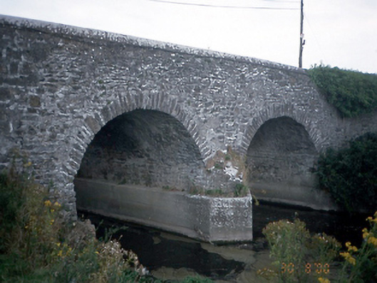 Lispopple Bridgebridge · 1487 yd
 Motte (site of)Earthwork · 1501 yd
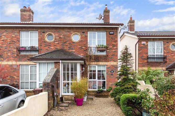 CastleCastle, tower house · 1714 yd
 Freedagh MoatCastle, motte · 1.4 mi
 St Cronans WellSpring · 2.3 mi
 The JackoWood · 2.7 mi
 Kim Archibold MemorialMemorial · 2.8 mi
 Wooly Ward's FarmHeritage attraction · 2.8 mi
 Horizon Logistics ParkVisitor information · 4.0 mi
Other information
Photo: Credit not shown in the picture search · Rights wording not checked; contact us if this picture should be removed